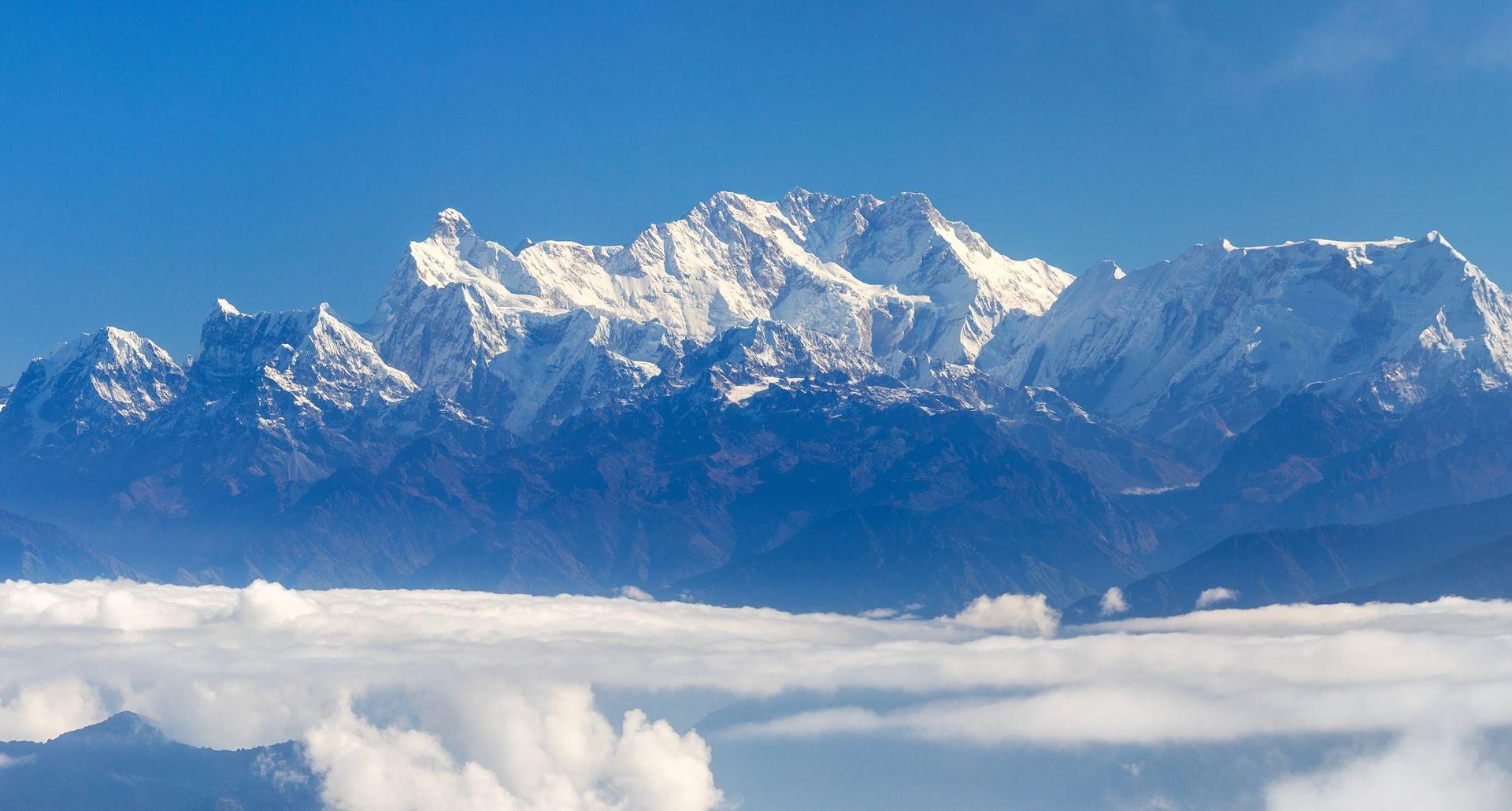
Conservation area
Kanchenjunga Region
4,474 m
Kanchenjunga Conservation Area is a 2,035 km² protected landscape in eastern Nepal, home to Kanchenjunga, diverse Himalayan ecosystems, rare wildlife and culturally rich mountain communities. It is the heart of the Kanchenjunga trekking region
Read place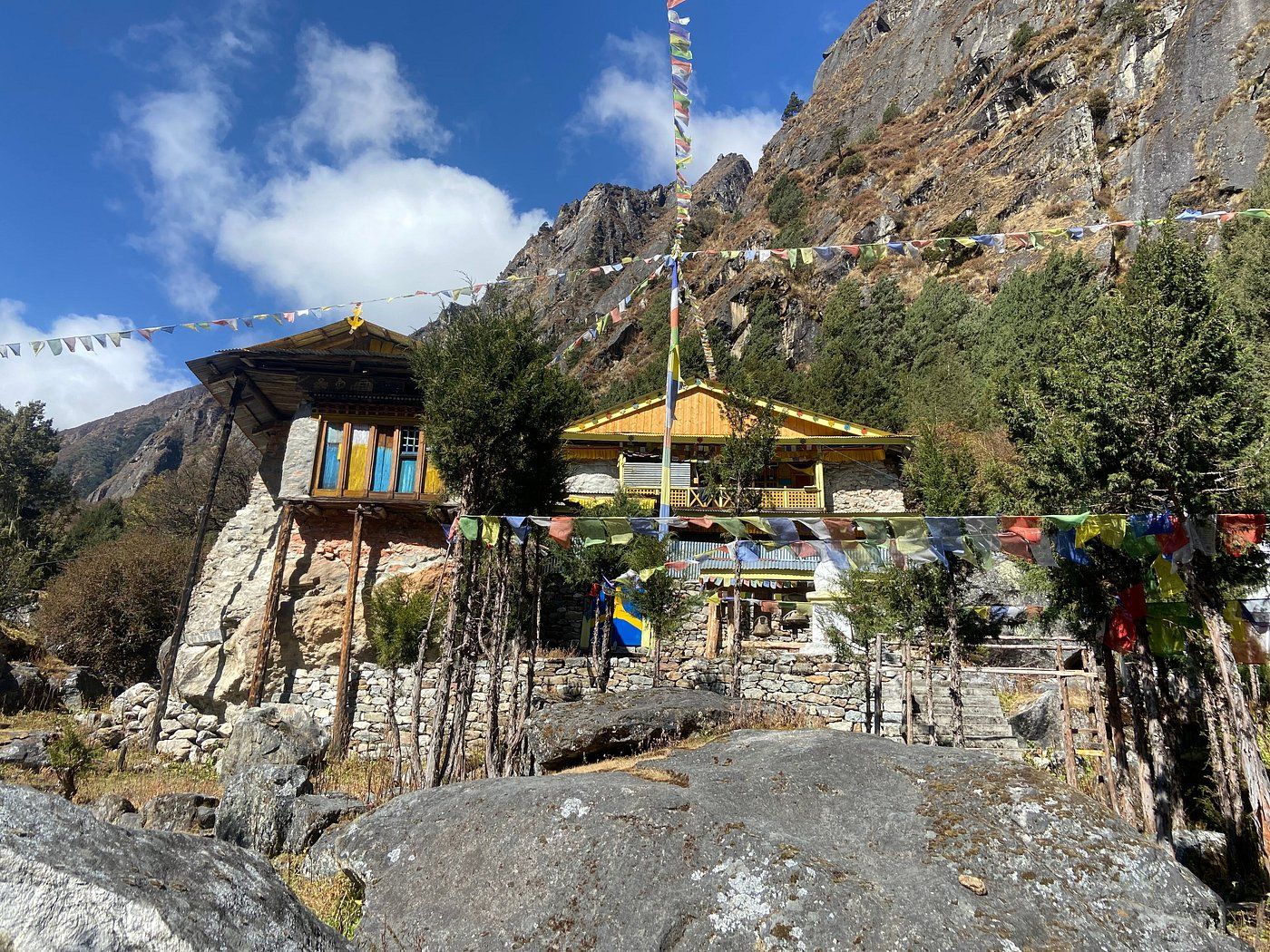
Teahouse / lodge
Dzonga Family House is a local accommodation partner in Ghunsa, a traditional Himalayan village on the Kanchenjunga trekking route in eastern Nepal. A welcoming stop for trekkers exploring the remote mountain landscapes and rich culture of the Kanchenjunga region.
Read place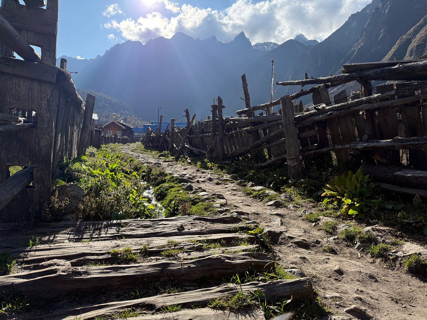
Checkpoint
Ghunsa
3,400 m
Ghunsa is a traditional Himalayan village at approximately 3,400 metres on the Kanchenjunga trekking route in eastern Nepal. Discover its mountain scenery, local culture, trekking trails, accommodation, and role as an important acclimatisation stop.
Read place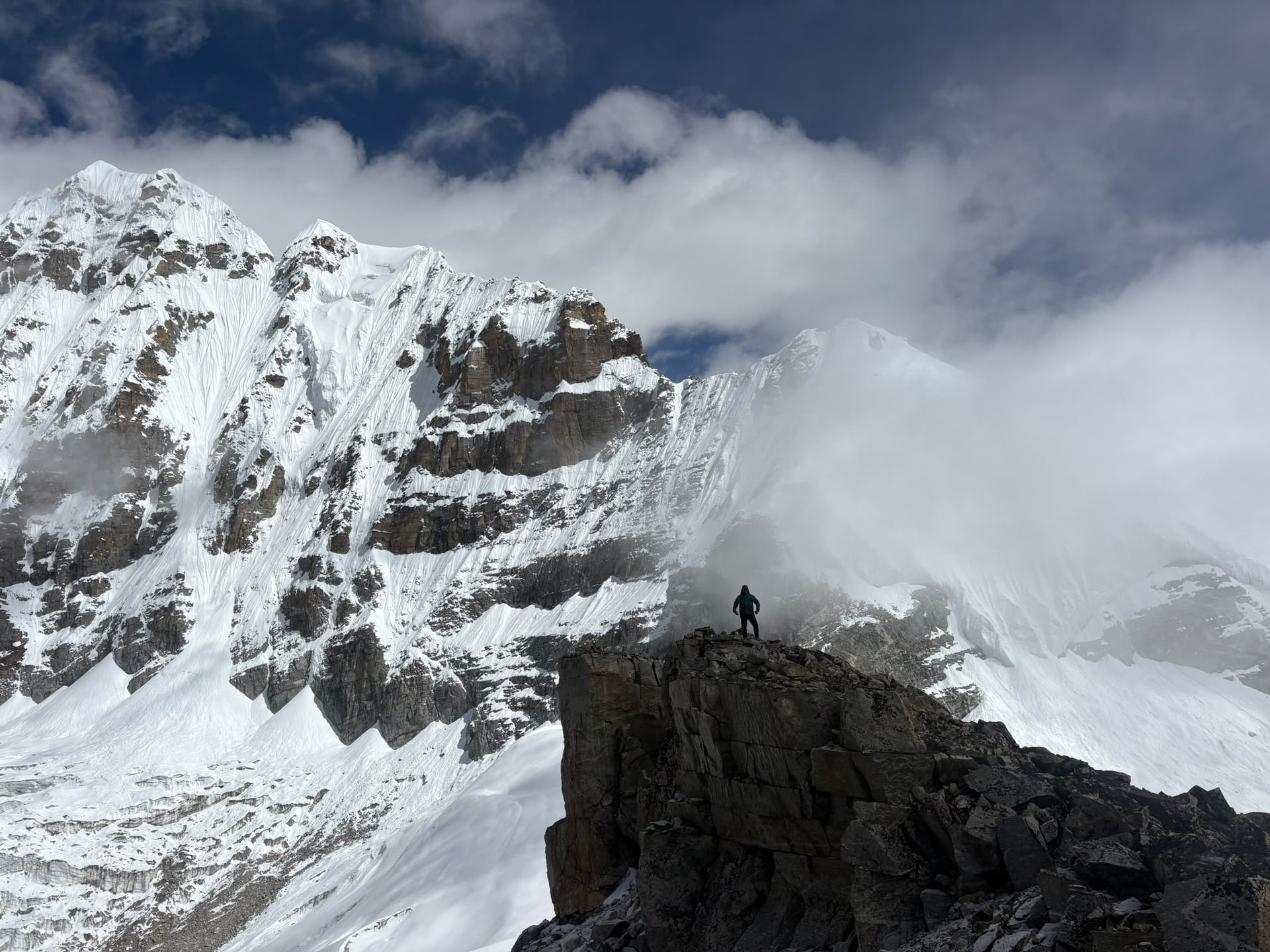
Base camp
4,730 m
Oktang, at around 4,730m, is the spectacular South Base Camp viewpoint of Kanchenjunga, overlooking the Yalung Glacier and southern Himalayan peaks.
Read place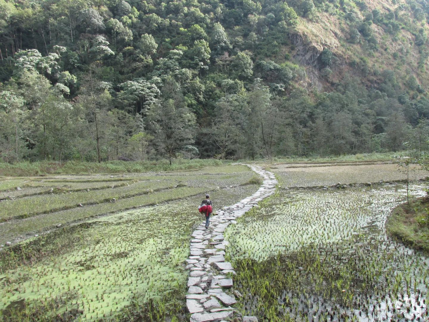
Checkpoint
Yamphudin
2,080 m
Yamphudin, at around 2,080 m, is a remote mountain village in Taplejung and an important stop on the southern Kanchenjunga trekking route. Surrounded by forests, farmland and mountain valleys, it offers trekkers a glimpse of the region’s diverse culture and traditional Himalayan lifestyle.
Read place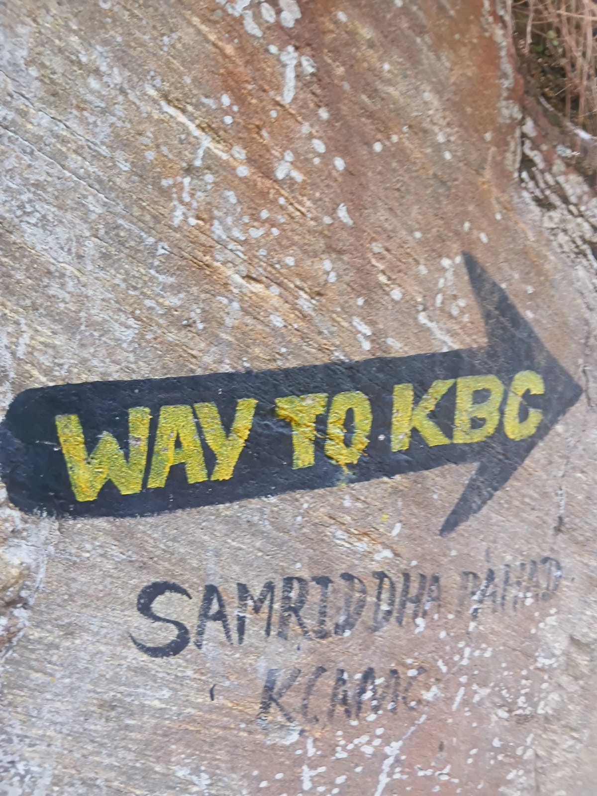
Village
2,510 m
Amjilosa is a remote Himalayan village on the Kanchenjunga trekking route, surrounded by forests and steep mountain valleys between Sekathum and Gyabla.
Read place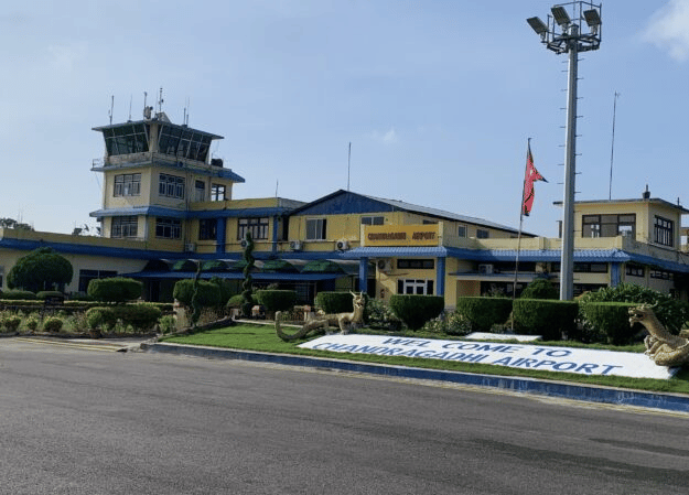
Airstrip / airport
Bhadrapur Airport (BDP), also known as Chandragadhi Airport, is an important eastern Nepal gateway for Kanchenjunga trekkers. Located in Jhapa, it connects Kathmandu with eastern Nepal before travelers continue by road toward Ilam, Taplejung and the Kanchenjunga region.
Read place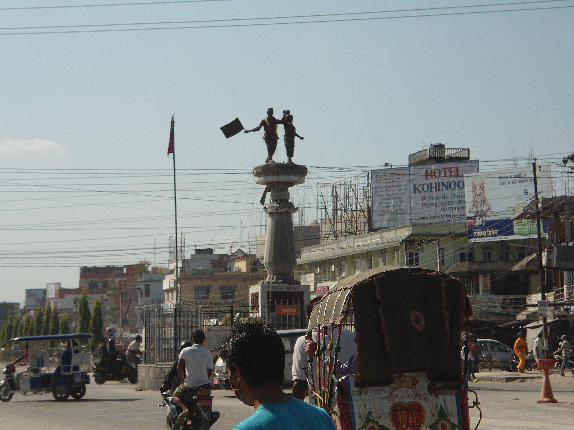
Town / city
Birthmod
58 m
Birthmode is a rural settlement in eastern Nepal and part of the broader landscape surrounding the Kanchenjunga region. The area reflects the traditional character of Nepal's eastern hills.
Read place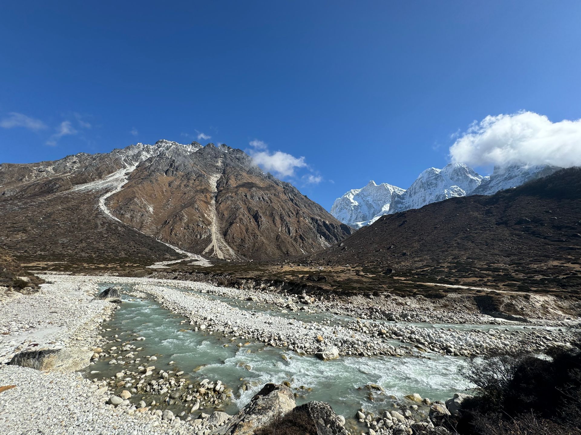
River
Chhiring Khola is a mountain stream in the Kanchenjunga region of Taplejung district, part of the Tamor river system.
Read place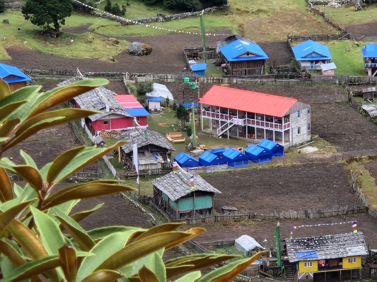
Village
1,270 m
Chirwa is a small village on the banks of the Tamor River, a common overnight stop on the first days of the Kanchenjunga North Base Camp trek. It is a warm, low-lying settlement among cardamom fields.
Read place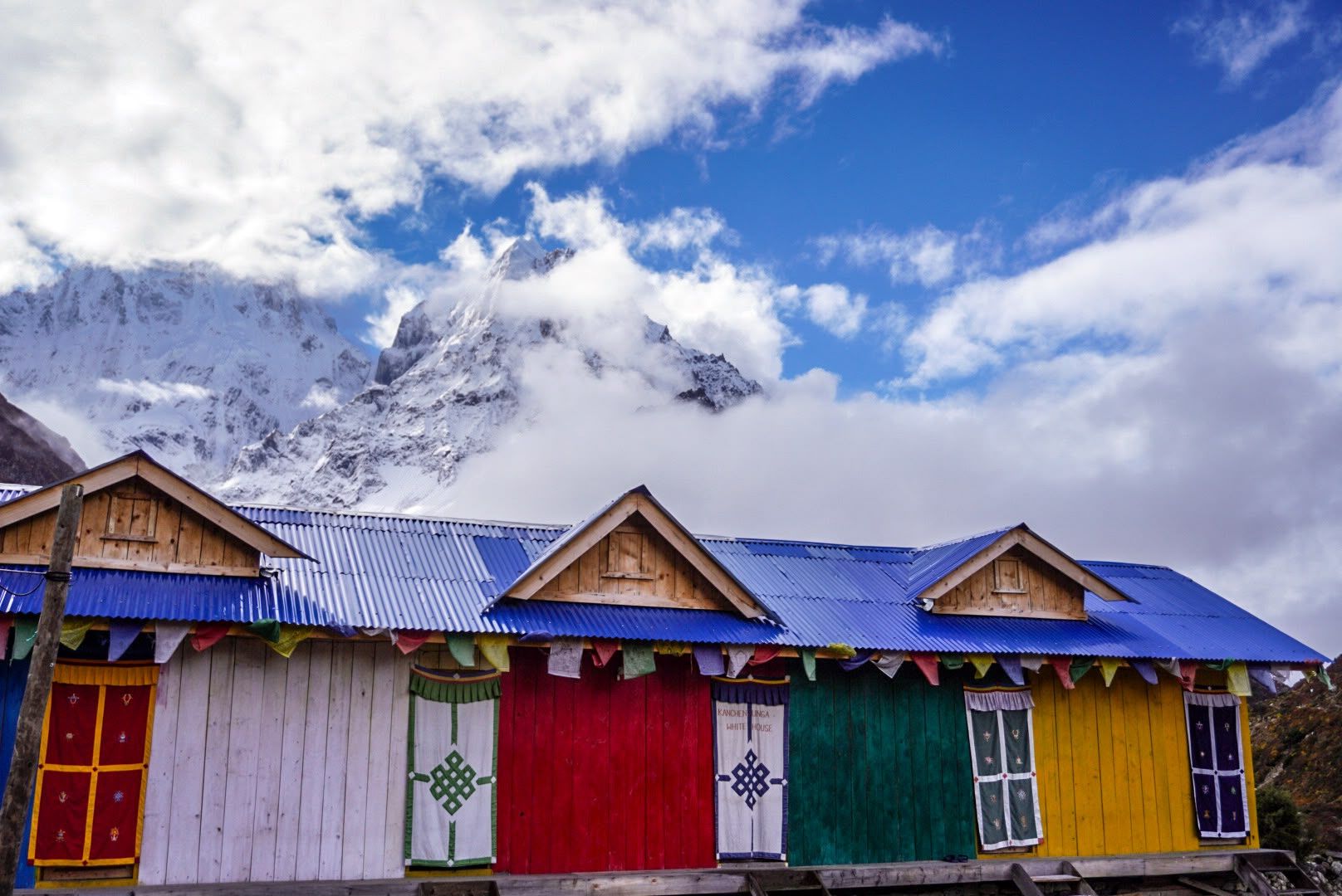
Mountain peak
Dormo Peak is a peak in the Kanchenjunga region of Taplejung, part of the high skyline seen from the circuit route.
Read place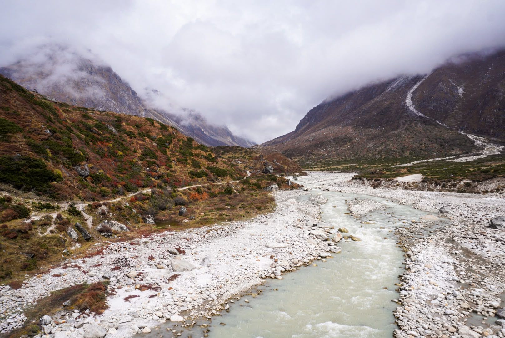
River
1,600 m
The Ghunsa River flows from the glaciers on the north side of Kanchenjunga past Lhonak, Kambachen and Ghunsa, joining the Tamor below Gyabla. Its water is milky with glacial silt.
Read place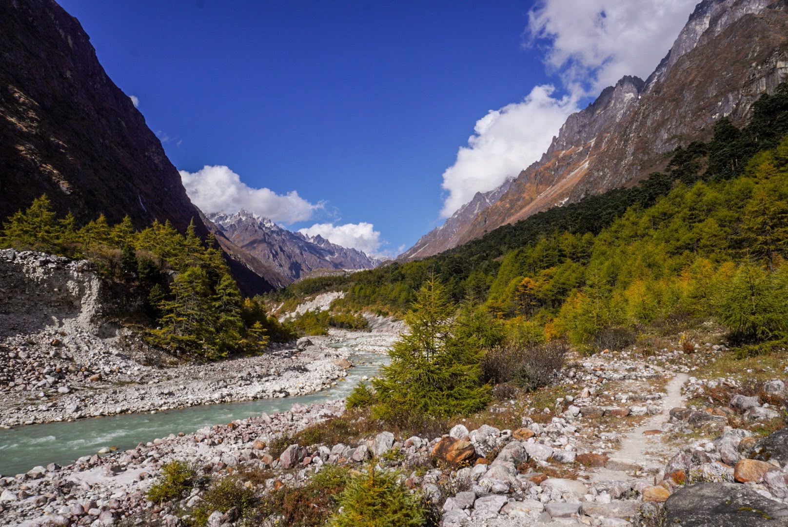
Valley
3,000 m
The Ghunsa Valley is a high glacial valley in northern Taplejung, home to the Sherpa village of Ghunsa and its pine and rhododendron forests. It leads north towards Kambachen and Kanchenjunga North Base Camp.
Read place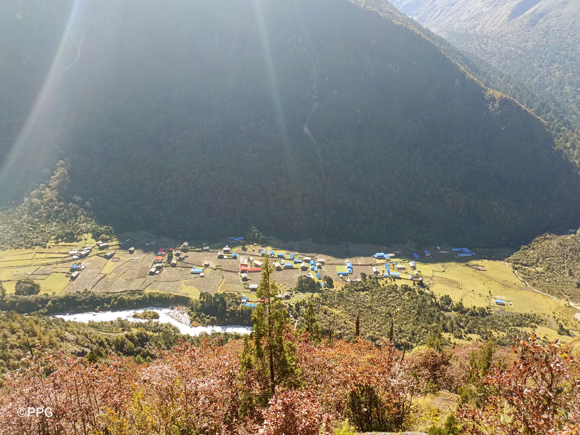
Viewpoint
3,900 m
Ghunsa View Point is a scenic high-altitude viewpoint above Ghunsa, offering views of Phale and the surrounding Kanchenjunga mountains during an acclimatization hike.
Read place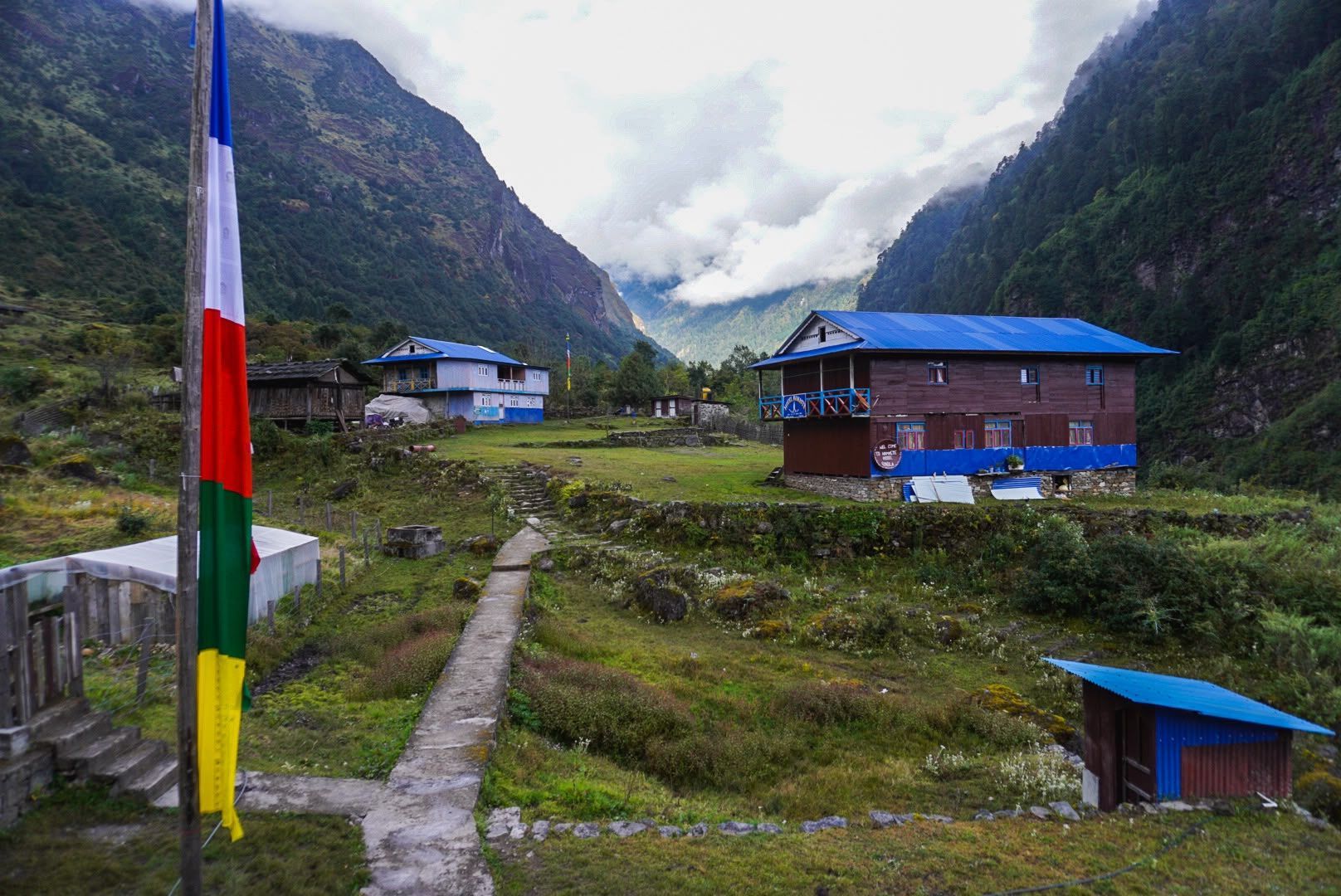
Village
Kyapra
2,730 m
Gyabla, also known as Kyapra, sits at around 2,730m between Amjilosa and Ghunsa on the Kanchenjunga trail. Surrounded by bamboo, rhododendron and pine forests, the village offers a peaceful Himalayan setting and an important overnight stop before reaching Ghunsa.
Read place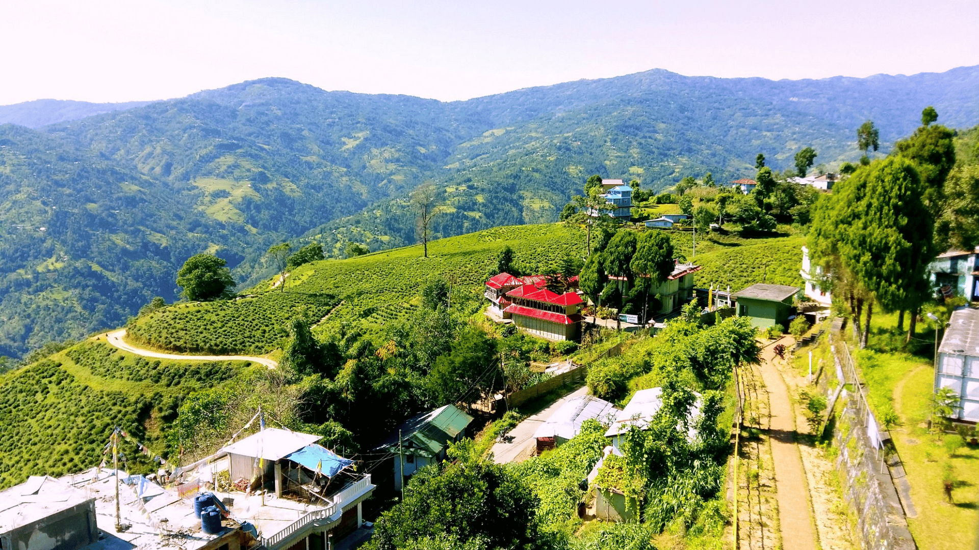
Town / city
Ilam is a scenic hill town in eastern Nepal famous for its tea gardens, lush landscapes and strategic location between Bhadrapur and the Kanchenjunga region.
Read place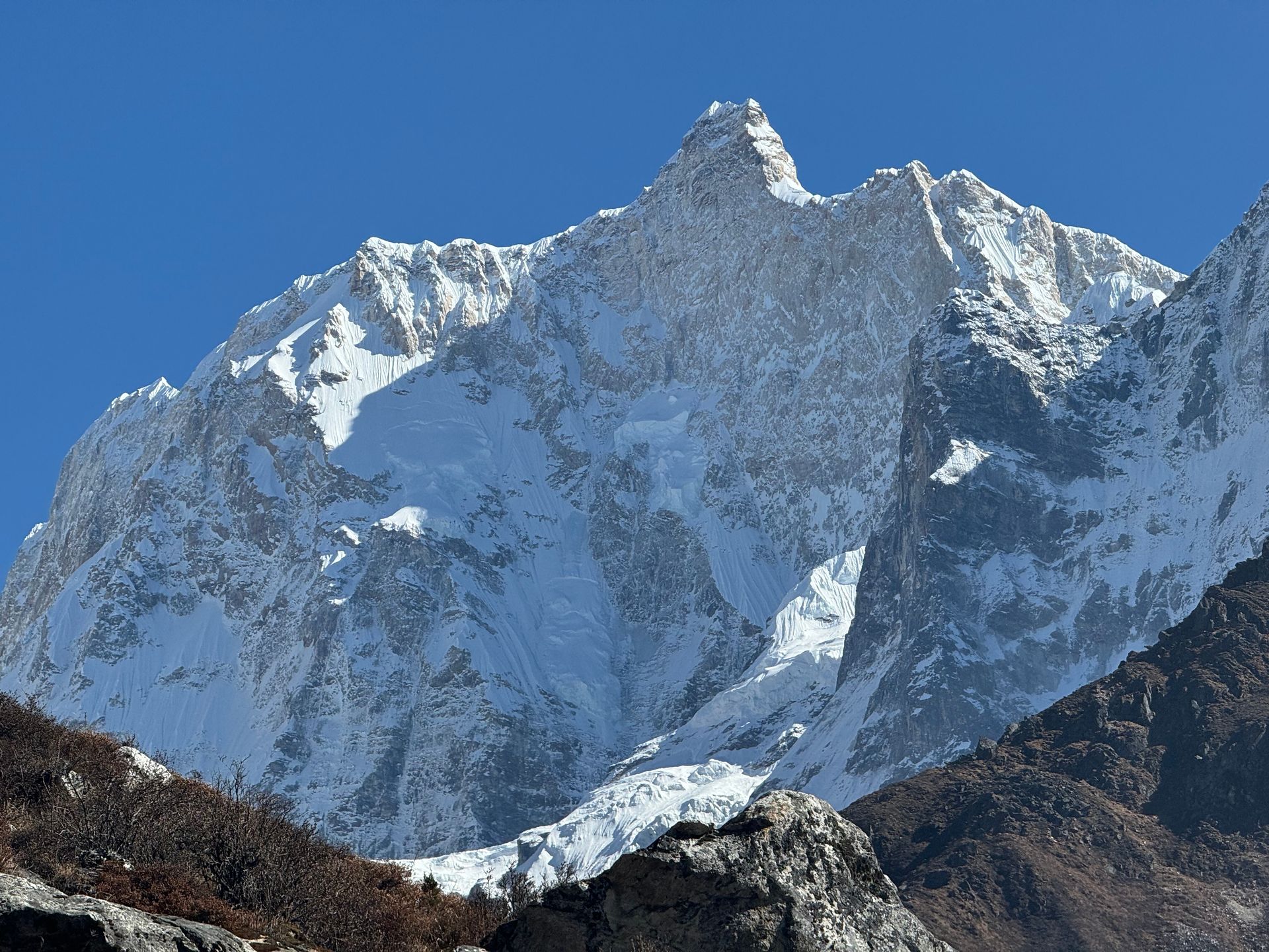
Mountain peak
कुम्भकर्ण (Kumbhakarna)
7,710 m
Jannu, officially Kumbhakarna, is a 7,710 m peak west of Kanchenjunga, famous for its huge, steep north face. It was first climbed by a French expedition in 1962.
Read place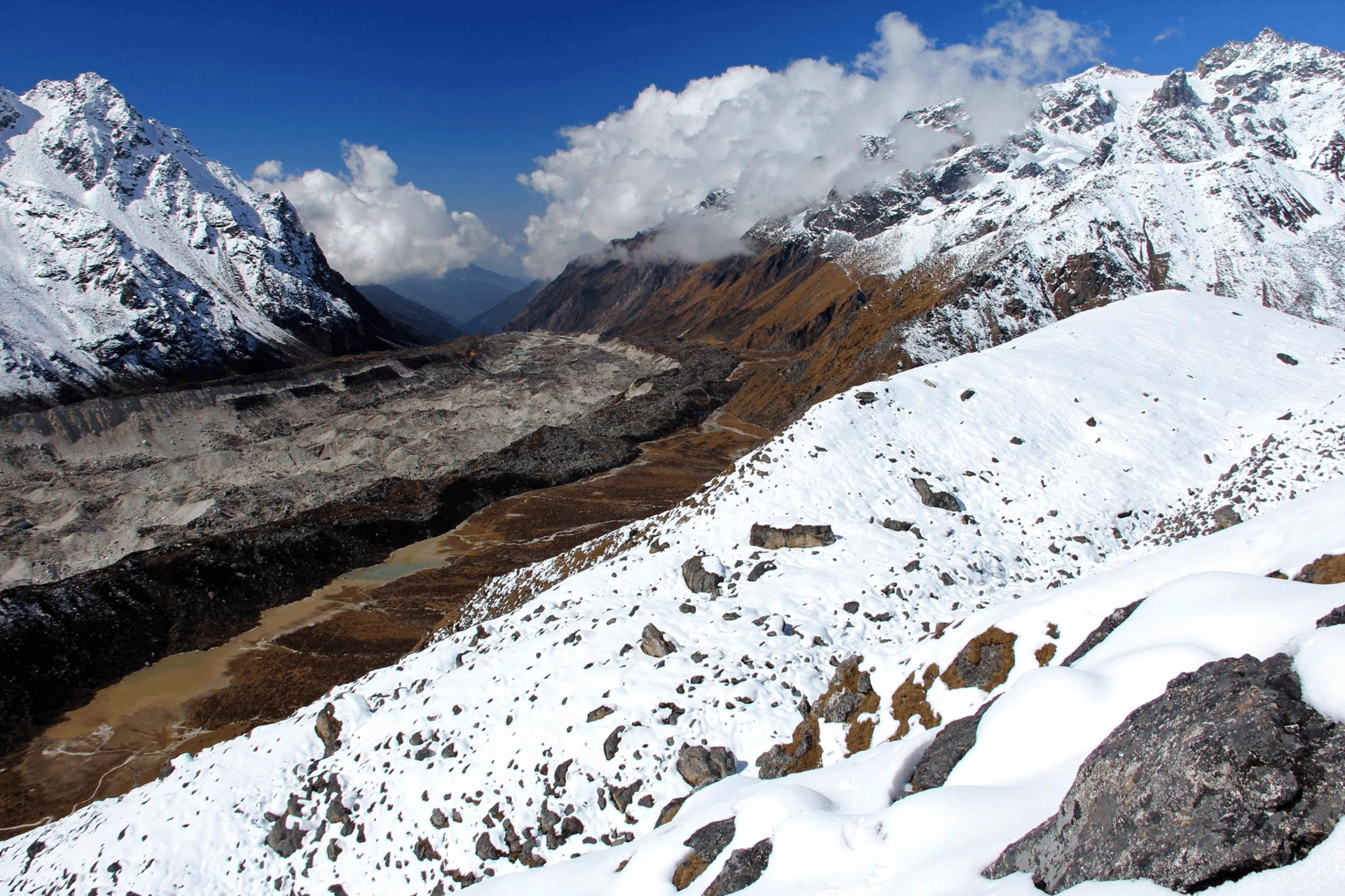
Glacier
4,000 m
The Jannu Glacier flows from the north face of Jannu (Kumbhakarna), descending towards Kambachen in the upper Ghunsa valley.
Read place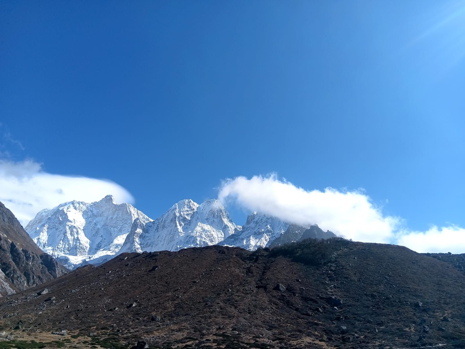
Mountain range
7,412 m
Kabru is a massif on the Nepal–Sikkim border south of Kanchenjunga, with two main summits, Kabru North and Kabru South. It forms part of the long ridge seen from Oktang and Kanchenjunga South Base Camp.
Read place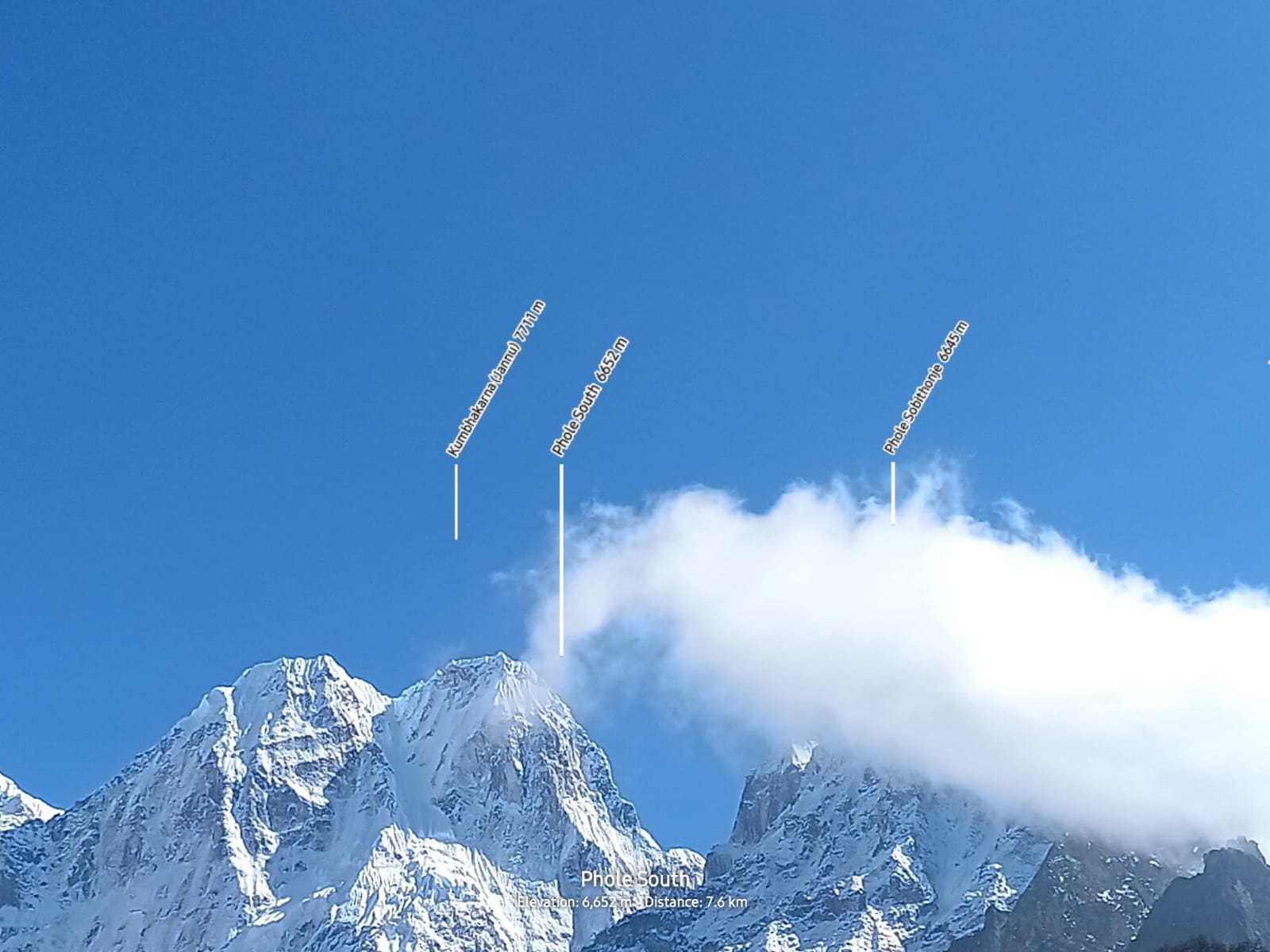
Mountain peak
7,412 m
Kabru North is the higher of the two Kabru summits, on the Nepal–Sikkim border south of Kanchenjunga.
Read place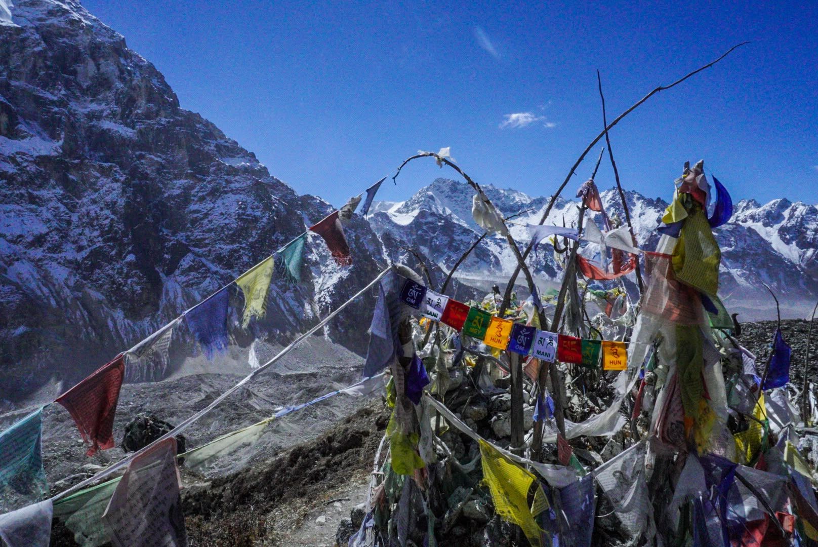
Mountain peak
7,318 m
Kabru South is the southern summit of the Kabru massif on the Nepal–Sikkim border.
Read place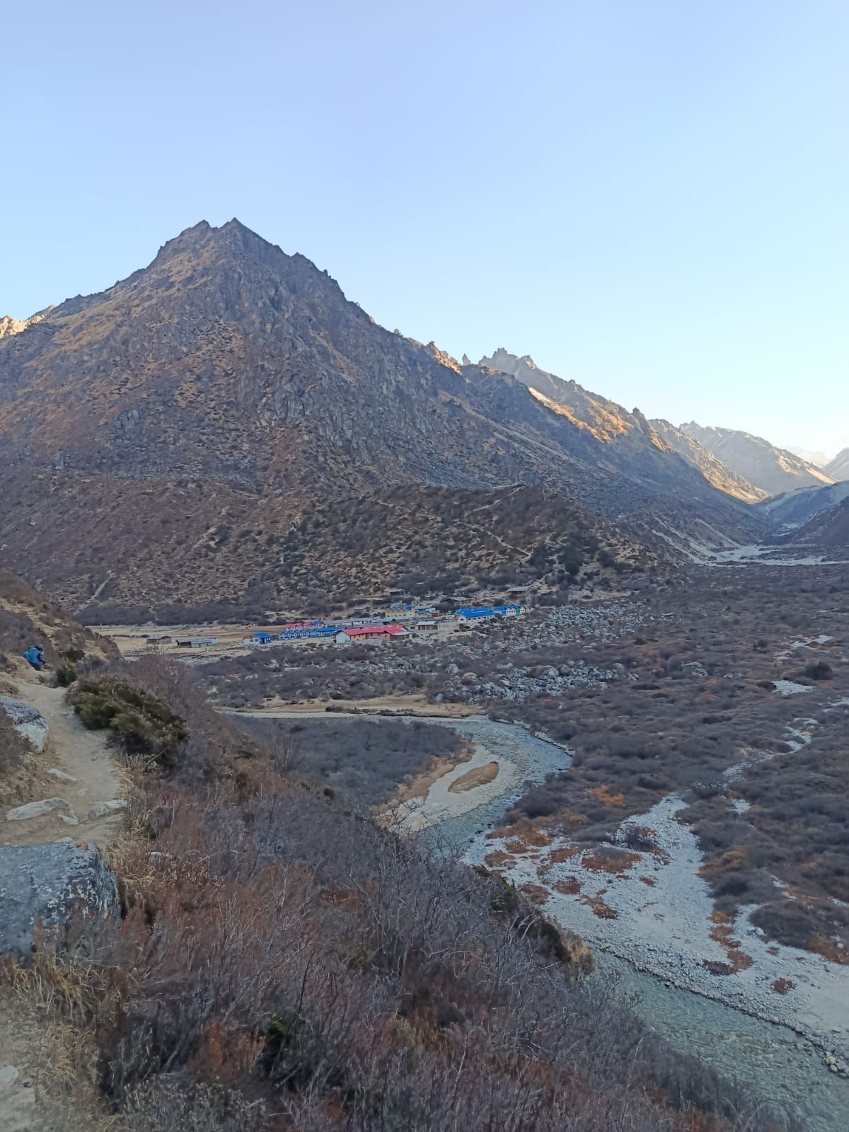
Village
Khambachen
4,145 m
Kambachen at 4,145 m is a remote high-altitude settlement on the Kanchenjunga North Base Camp route, surrounded by dramatic alpine landscapes and views toward Jannu.
Read place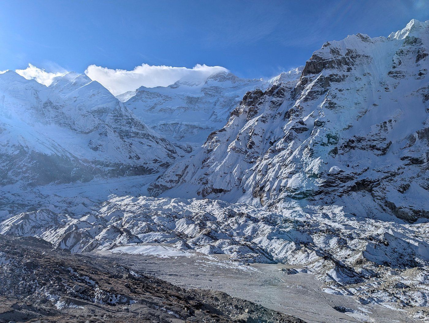
Glacier
4,800 m
The Kanchenjunga Glacier flows west from the north face of Kanchenjunga past Pangpema, the North Base Camp. Its rubble-covered surface feeds the Ghunsa River.
Read place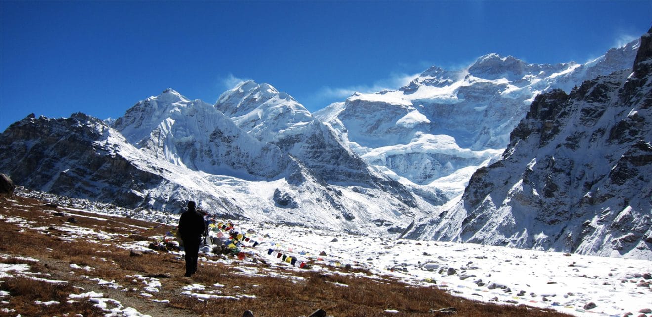
Base camp
Pangpema
5,140 m
Pangpema, at approximately 5,140m, is the North Base Camp of Kanchenjunga, offering spectacular views of the mountain's immense northern face and surrounding glaciers.
Read place
