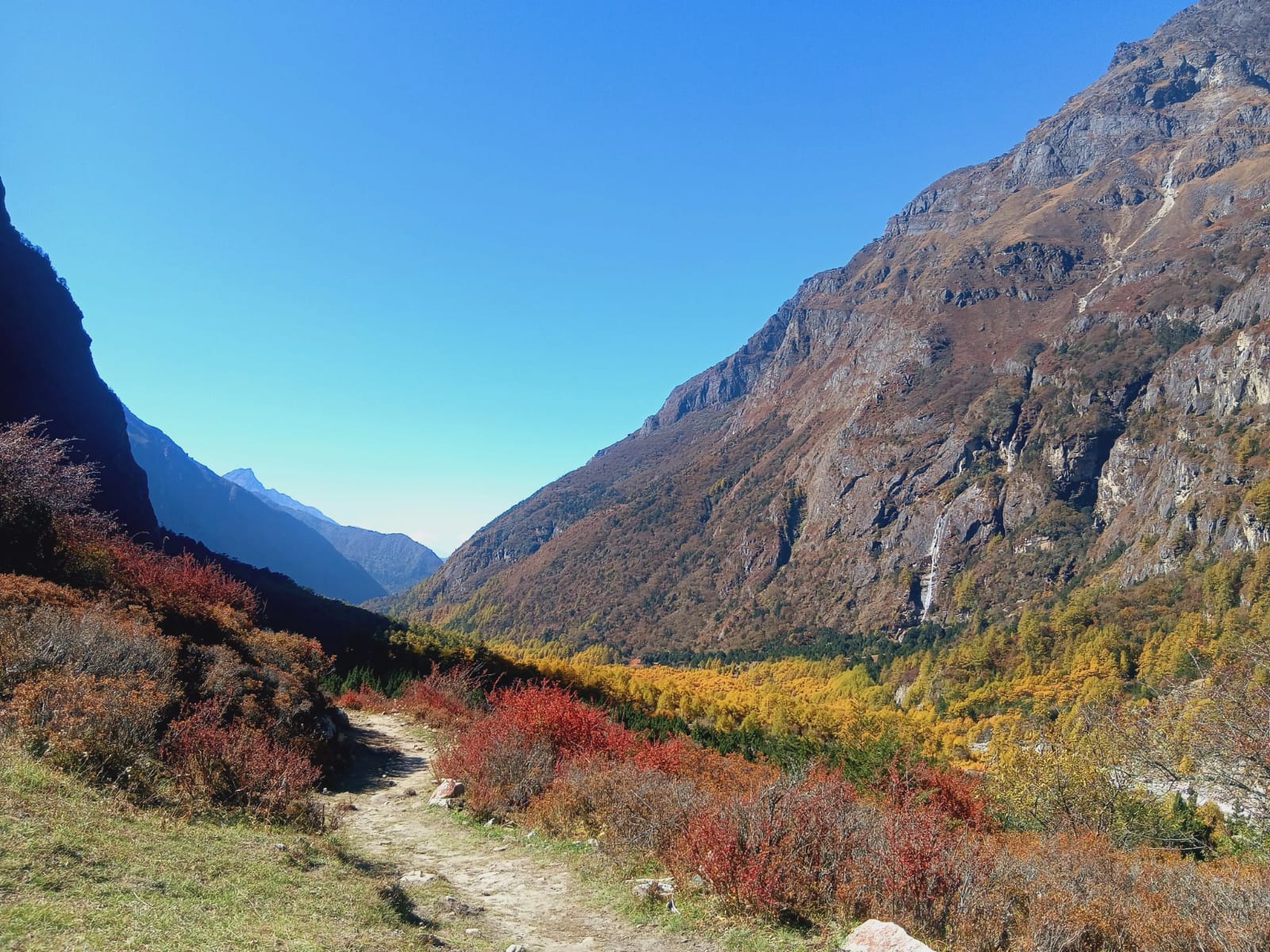
Valley
1,500 m
The Kanchenjunga valleys are the river valleys on the Nepal side of Kanchenjunga, the world’s third-highest mountain. The northern route follows the Tamor and Ghunsa valleys, the southern route the Simbua and Yalung valleys.
Read place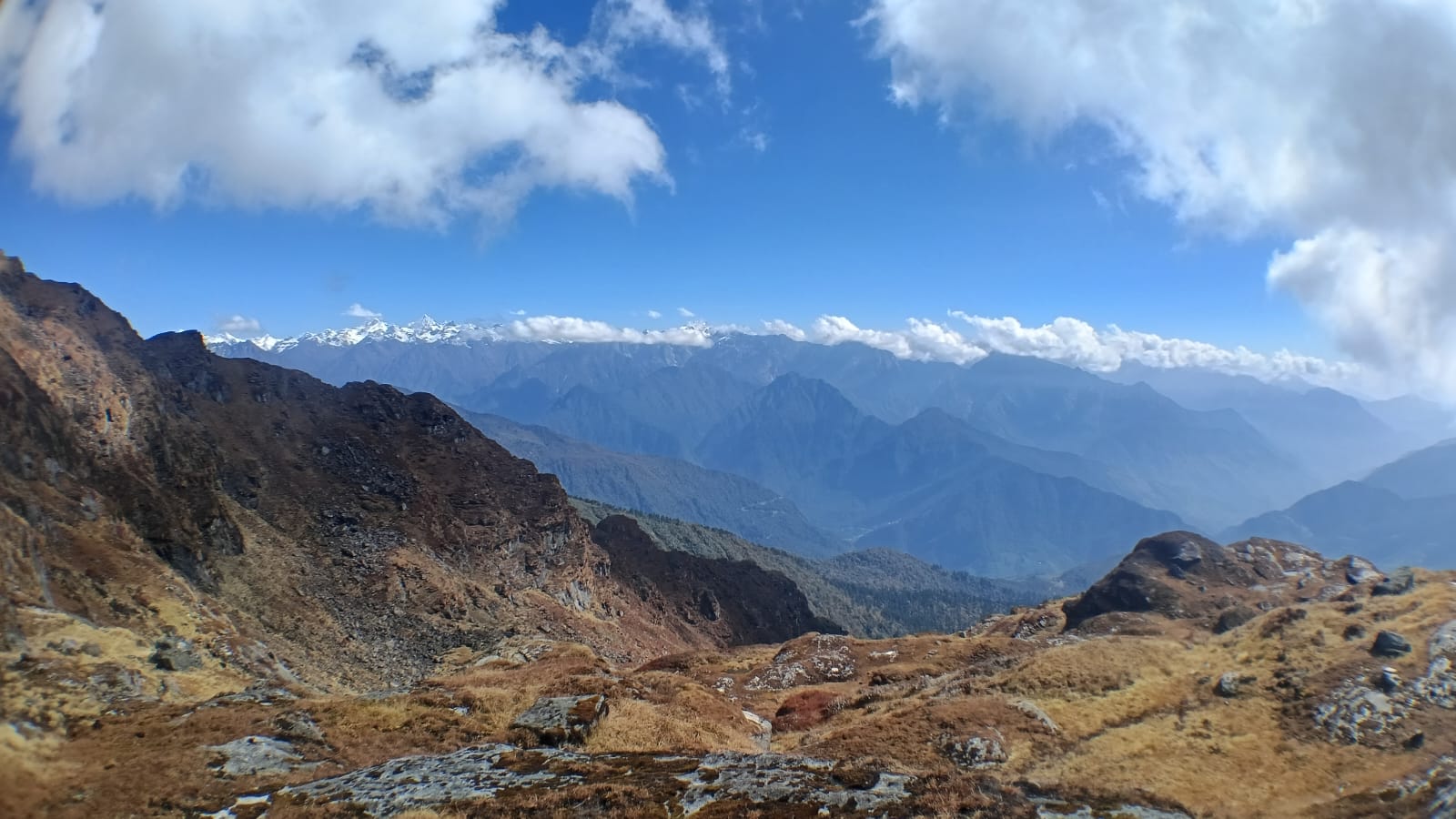
Place
Kharkas are the high summer pastures of the Kanchenjunga region, where herders bring yaks and cattle in the warmer months. Many trekking stops on the route grew from these seasonal grazing grounds.
Read place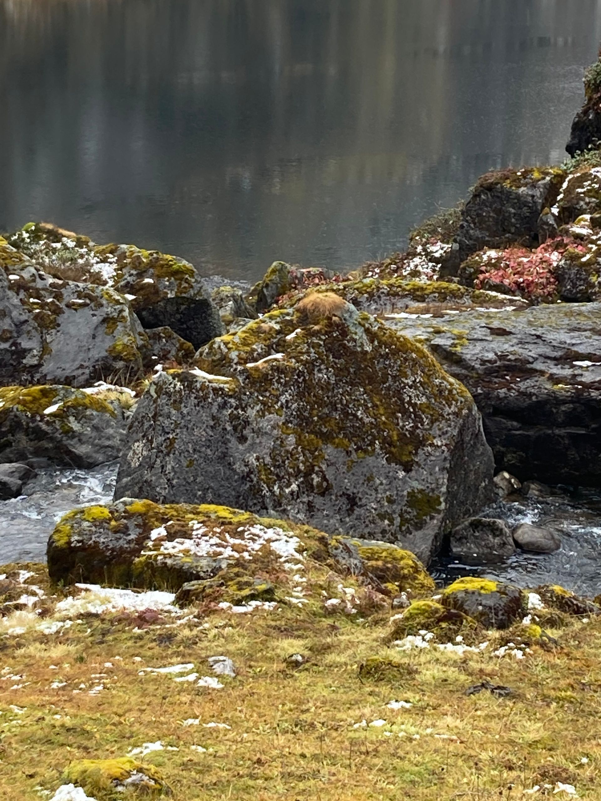
Lake
Kuine Pokhari is a high alpine lake (pokhari) in the Kanchenjunga region of Taplejung district.
Read place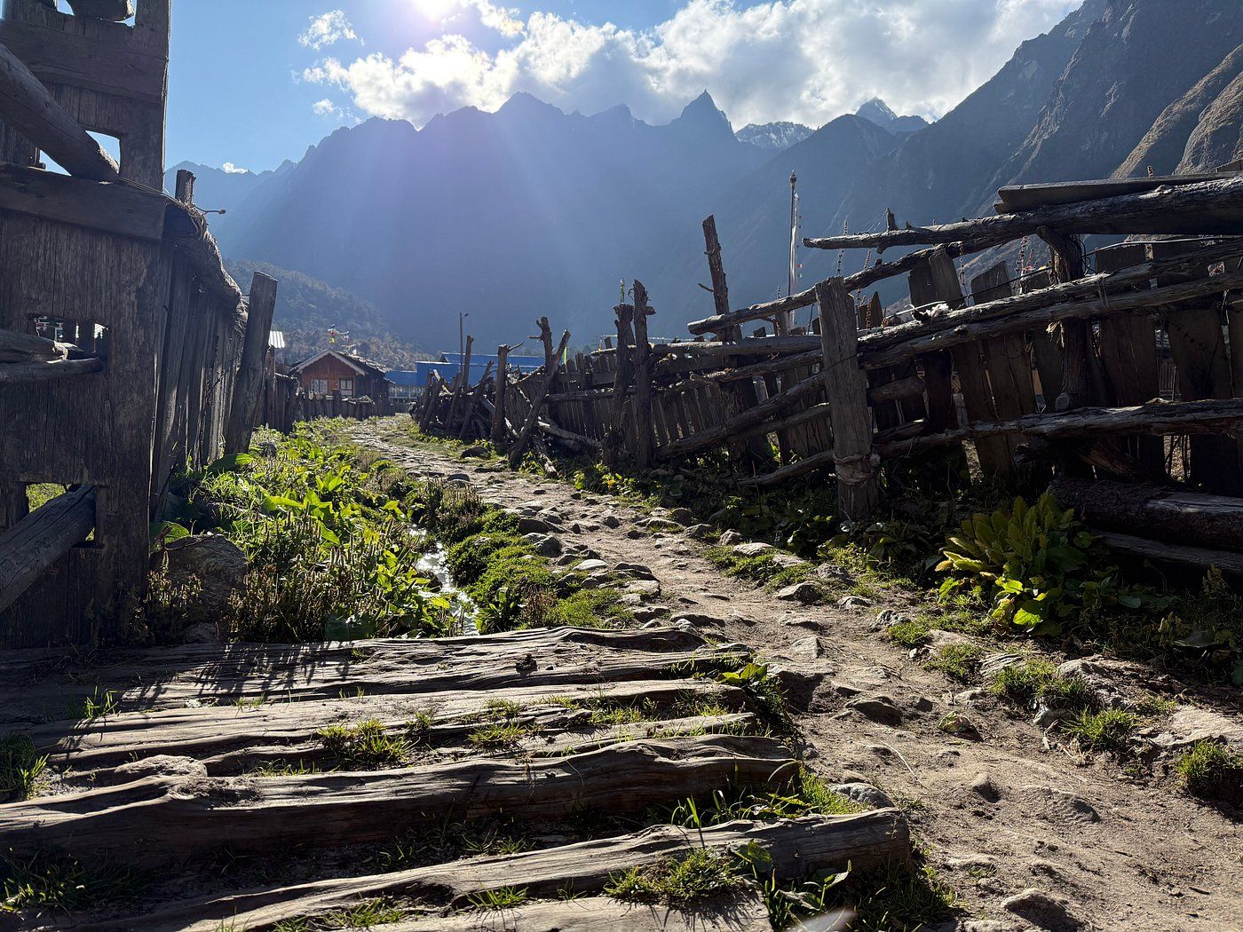
Village
Lelep is a village area in northern Taplejung on the route towards the Kanchenjunga Conservation Area. Trekkers pass through on the lower Tamor valley section of the northern route.
Read place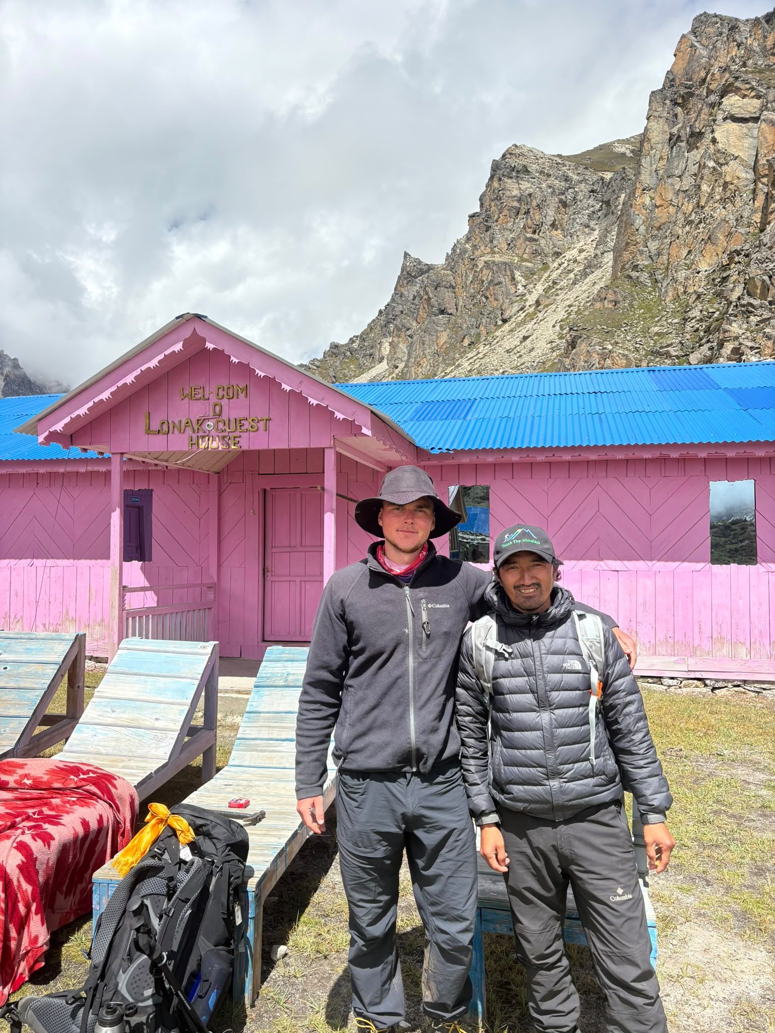
Village
Lhonak – Last Settlement Beneath Kanchenjunga
4,780 m
Lhonak is more than a stop on the Kanchenjunga trek—it is the final high-altitude staging point before Pangpema, the North Base Camp. At around 4,780–4,790 m, trekkers are already in a demanding glacial environment, with very limited facilities and exposed terrain.
Read placePass
लुम्बा सुम्बा भन्ज्याङ
5,177 m
Lumba Sumba Pass links the Kanchenjunga Conservation Area with the Makalu–Barun region, crossing between Taplejung and Sankhuwasabha. It is a remote, high crossing on a newer trekking route. The route passes Tibetan and Sherpa villages that see few visitors.
Read place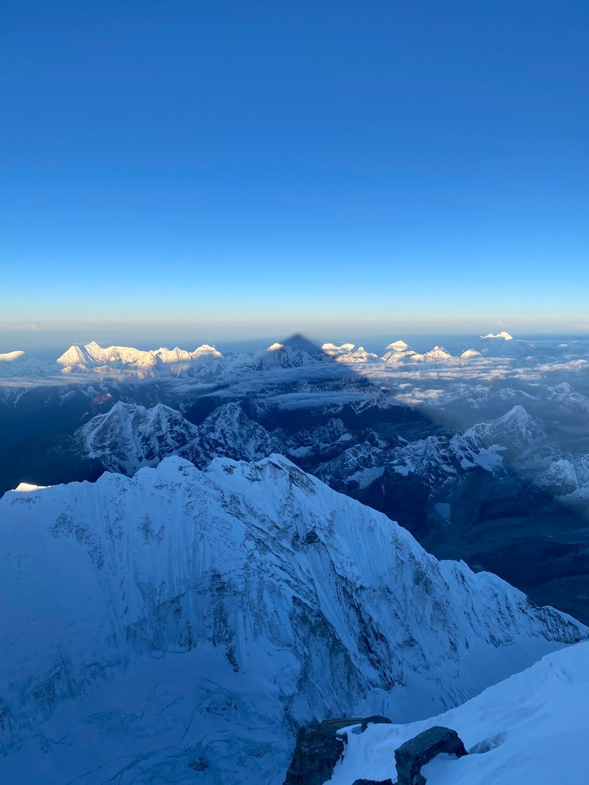
Mountain peak
Sewalungma (सेवालुङ्मा)
8,587 m
Mount Kanchenjunga, rising 8,586 meters in eastern Nepal, is the world’s third-highest mountain and a sacred Himalayan giant known for its five peaks, glaciers, rich culture, and extraordinary beauty.
Read place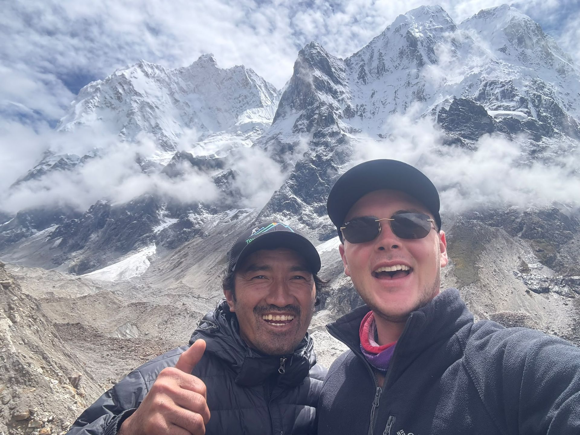
Base camp
4,730 m
Oktang is a high-altitude viewpoint above the Yalung Glacier, offering spectacular views of Kanchenjunga's southern face and surrounding Himalayan peaks.
Read place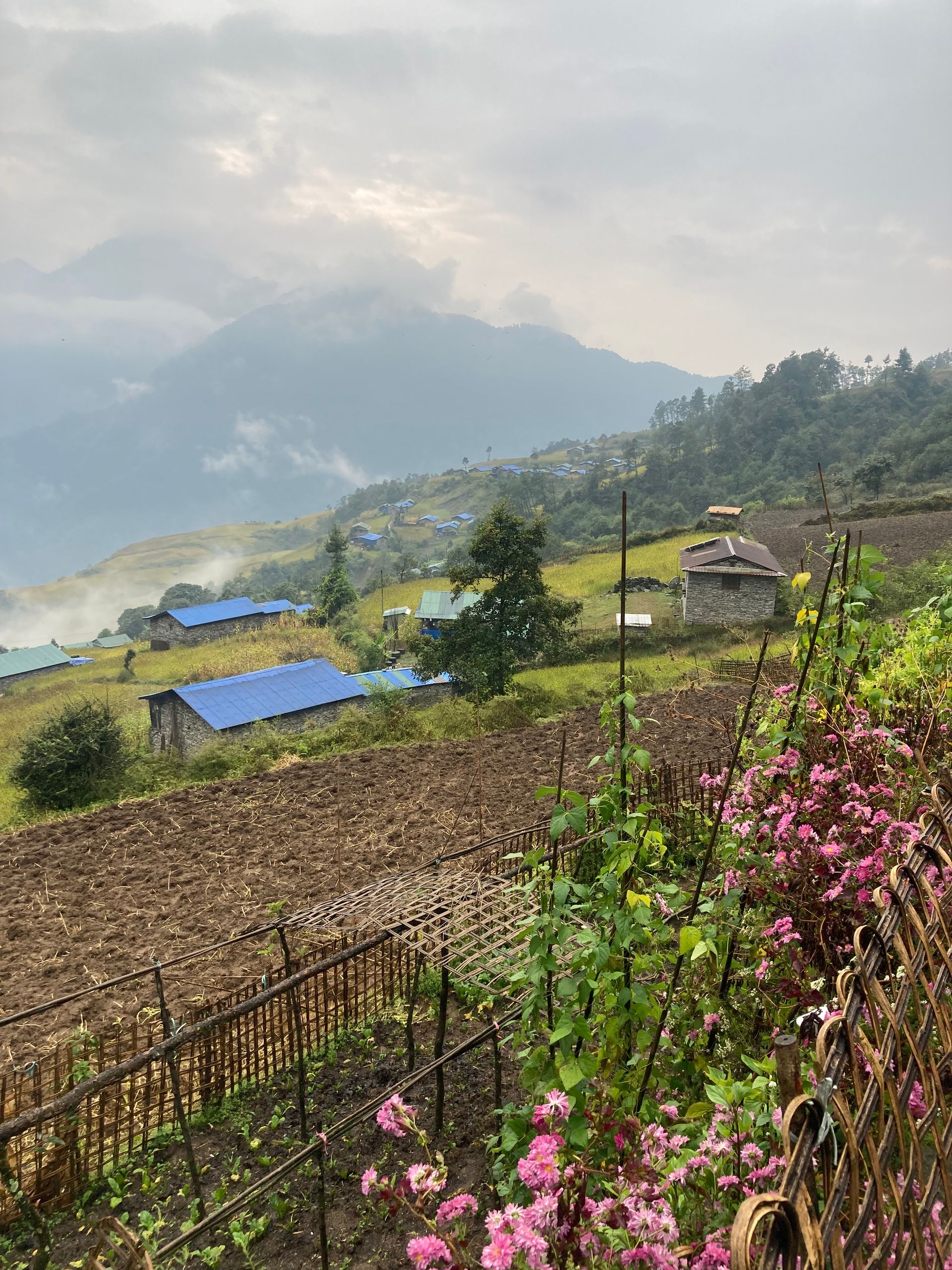
Village
ओलाङचुङ गोला
3,200 m
Olangchung Gola is an old Tibetan trading village near the Tibet border, with wooden houses and the Dingsamba Gompa, said to be over 500 years old. It lies in a remote valley of the northern Kanchenjunga region. It is a key stop on the Olangchung Gola and Lumba Sumba treks.
Read place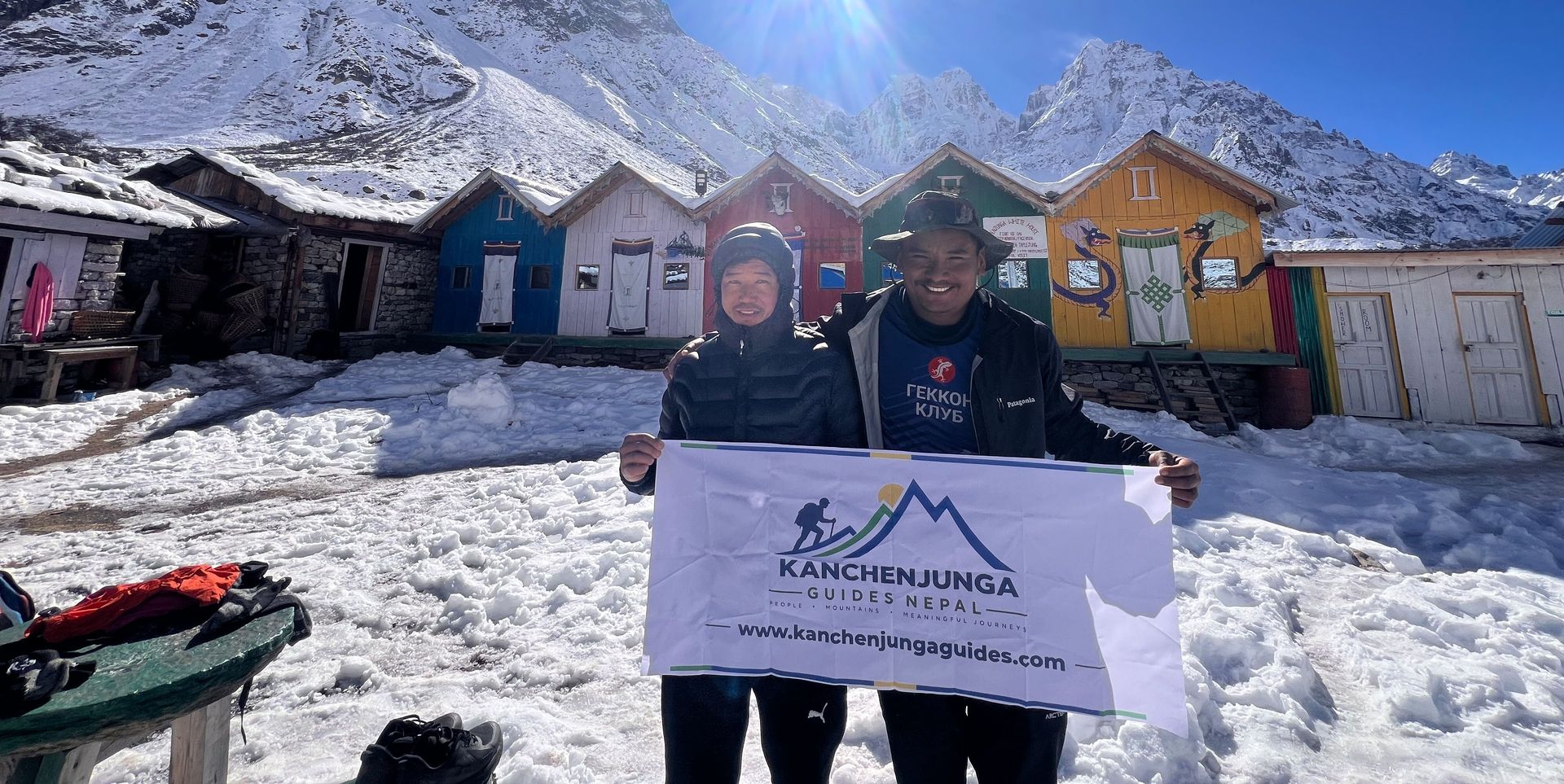
Village
5,140 m
Pangpema, at around 5,140 m, is the northern base camp area of Mount Kanchenjunga. Reached from Lhonak through rugged glacial terrain, it offers spectacular views of Kanchenjunga’s northern face, glaciers and surrounding Himalayan peaks. Proper acclimatization is essential at this altitude.
Read place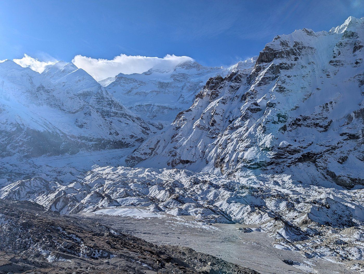
Viewpoint
The Pangpema viewpoint is the ridge above Pangpema, the Kanchenjunga North Base Camp, from where trekkers look straight at the north face of Kanchenjunga and the Kanchenjunga Glacier.
Read place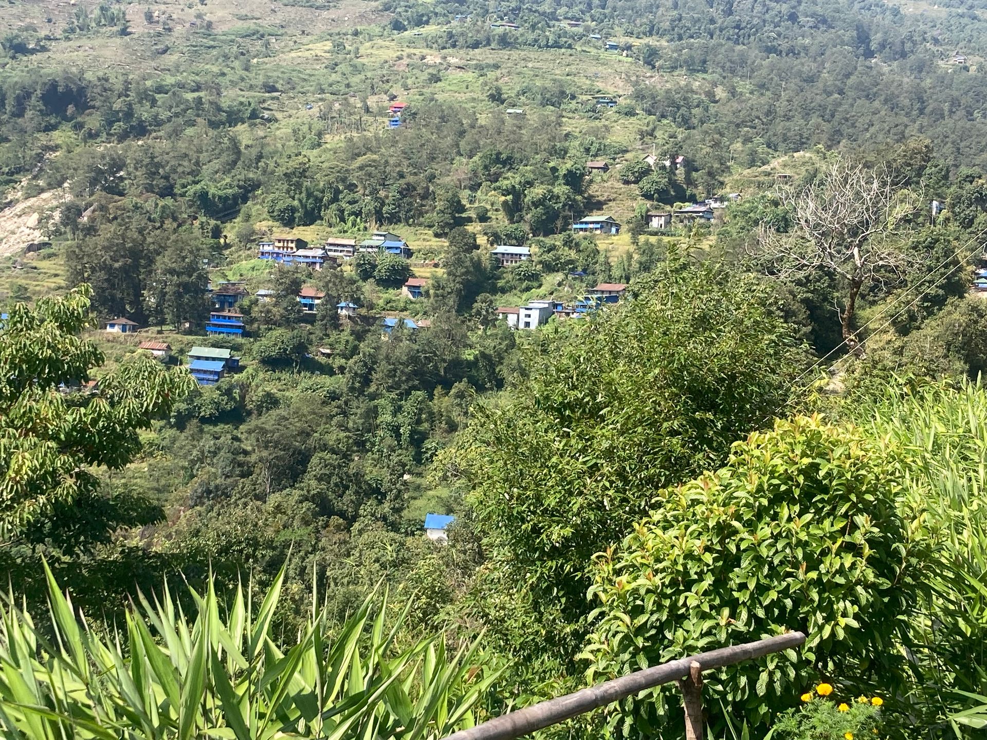
Village
Papung Loden is a village in Taplejung district in the Kanchenjunga region of eastern Nepal.
Read place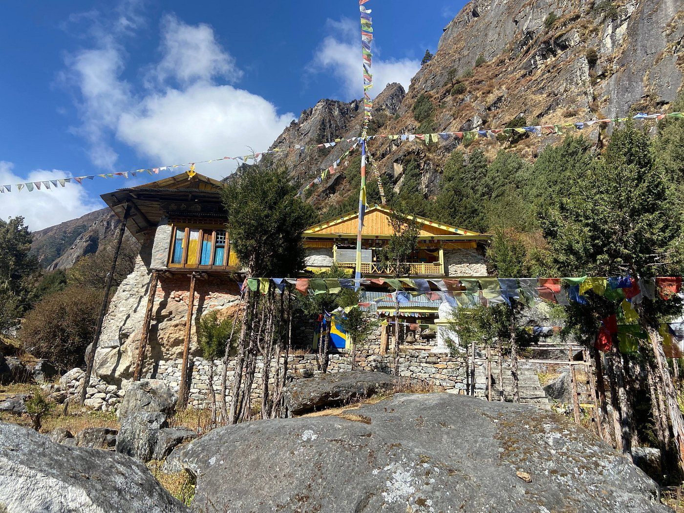
Religious site
पाथीभरा देवी मन्दिर
3,794 m
Pathibhara Devi Temple is a sacred Hindu and Buddhist shrine on a hilltop above Taplejung, at about 3,794 m. Pilgrims believe the goddess grants wishes, and many climb here from Phungling or Suketar.
Read place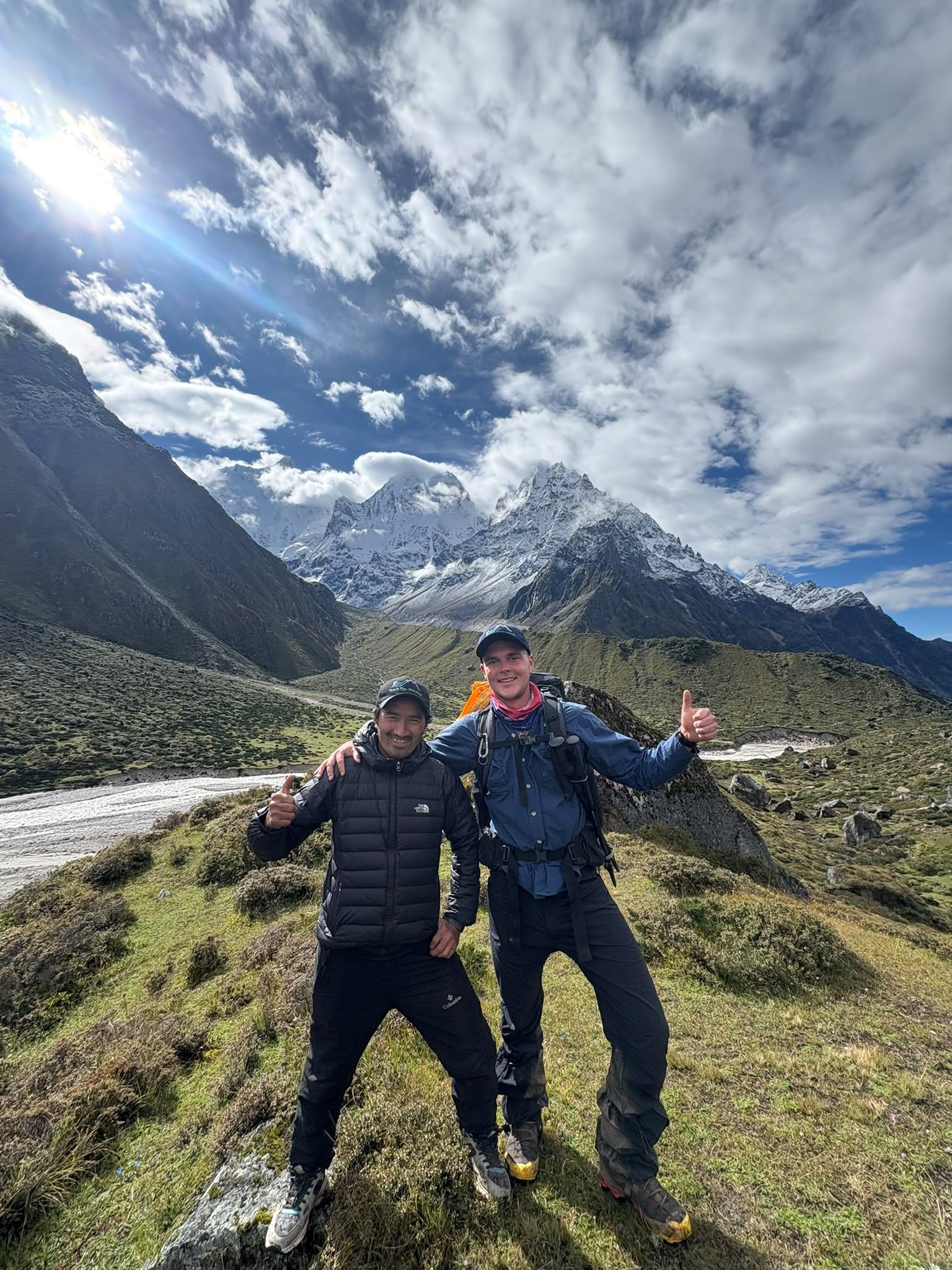
Village
4,480 m
Ramche, also known as Ramchaur, is a high-altitude camp at around 4,480m and an important staging point for the trek to Kanchenjunga South Base Camp.
Read place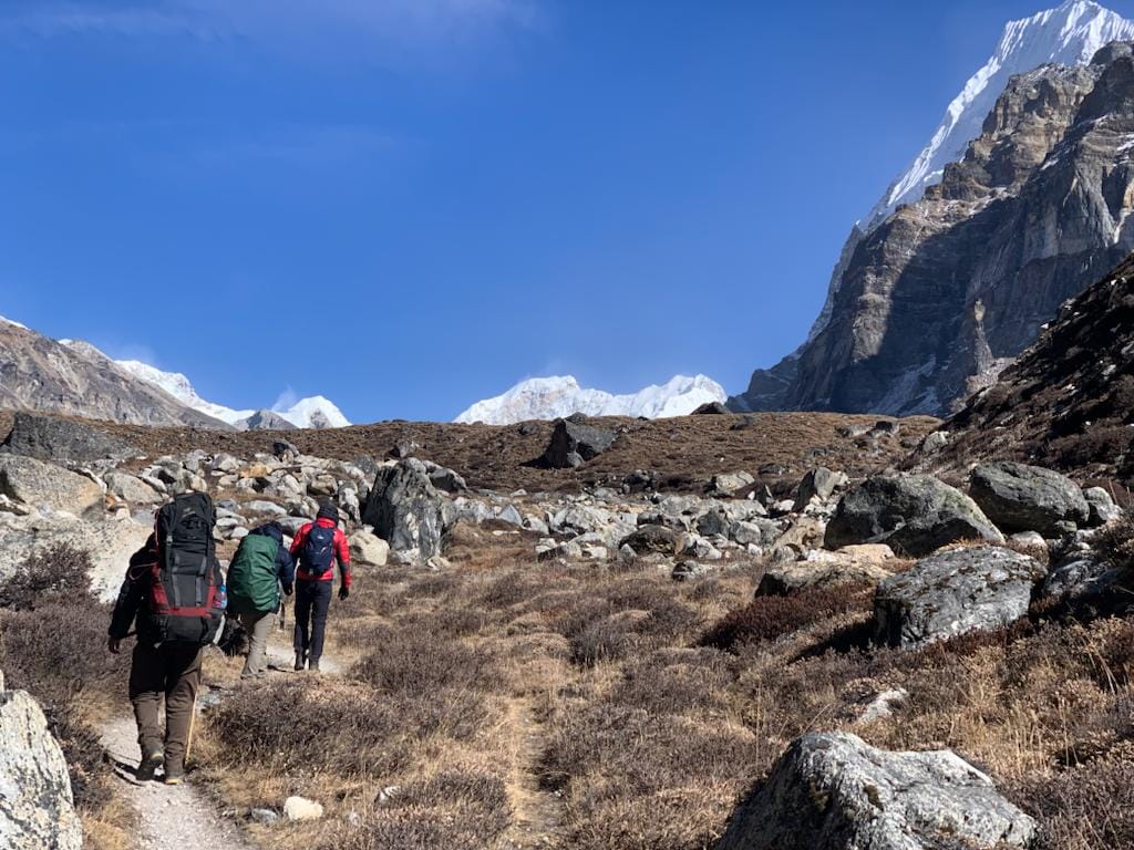
Mountain peak
Ramche is a high-altitude stop on the Kanchenjunga South Base Camp route. Start early for the best mountain views, walk at a steady pace, and allow time for acclimatization.Discover Ramche Viewpoint - a spectacular high-altitude viewpoint offering dramatic views of Kanchenjunga.
Read place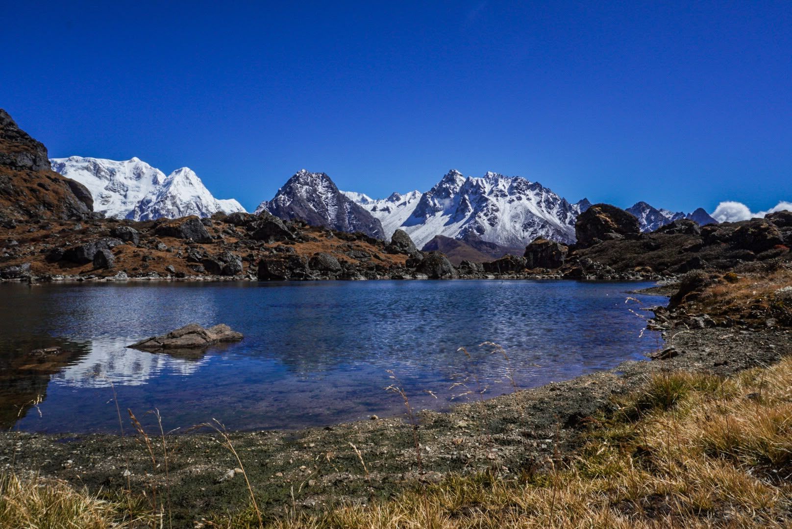
Mountain peak
6,682 m
Rathong is a 6,682 m peak on the Nepal–Sikkim border, south of the Kabru massif. Its glaciers feed rivers in both Nepal and Sikkim.
Read place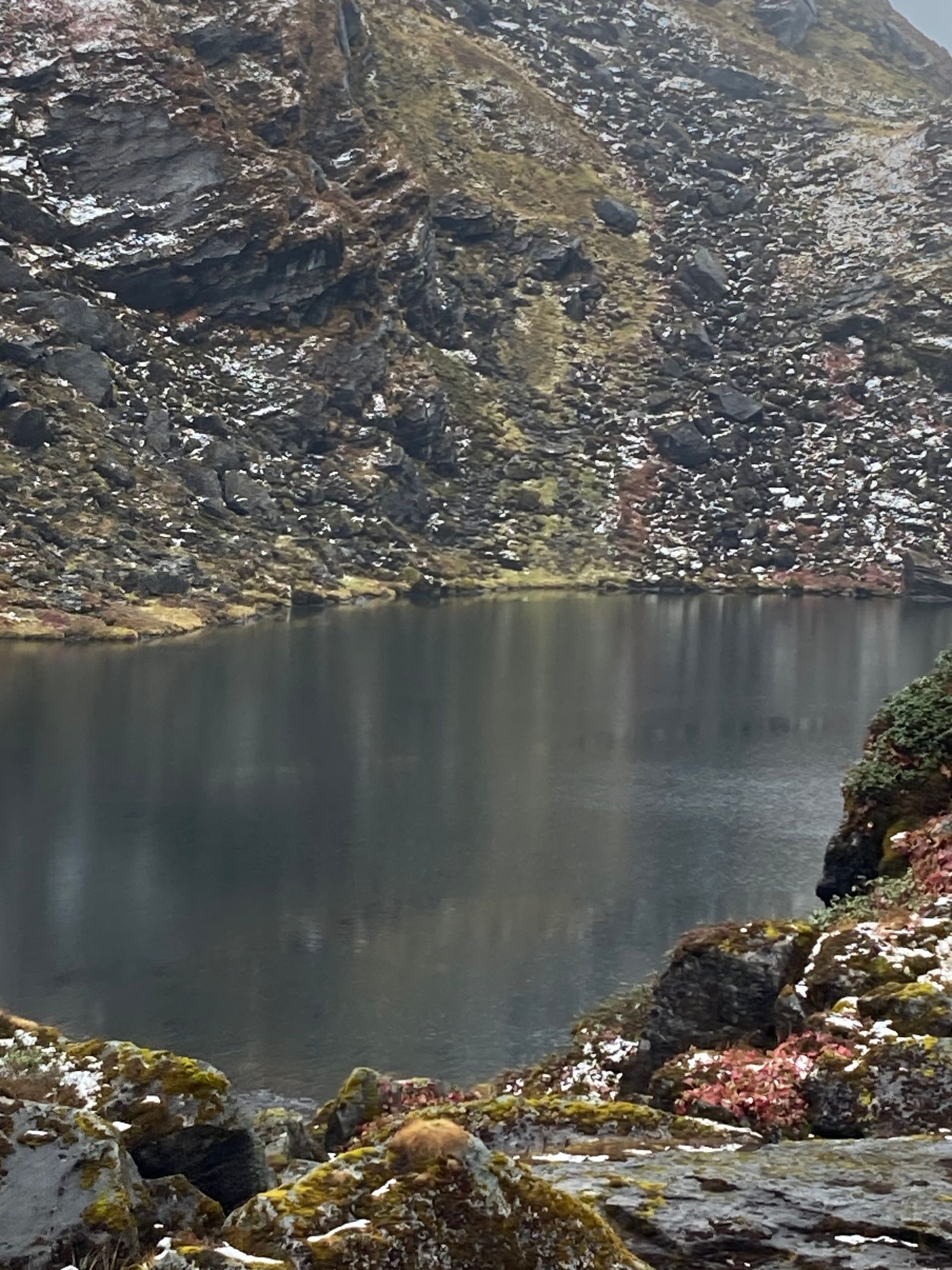
Lake
Sado Pokhari is a high alpine lake (pokhari) in the Kanchenjunga region of Taplejung district.
Read place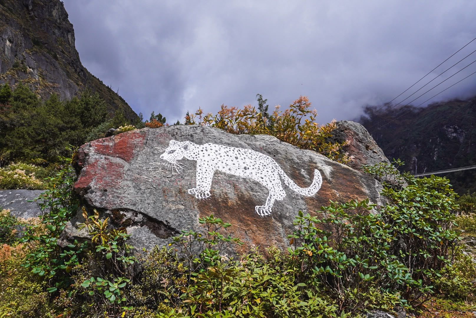
Village
Sekathum
1,640 m
Sekathum, at around 1,640 metres, is a key waypoint on the Kanchenjunga trek. Surrounded by dense forests, rushing rivers and steep mountain valleys, it marks the transition into the remote Kanchenjunga wilderness, with the trail continuing toward Amjilosa, Gyabla and Ghunsa.
Read place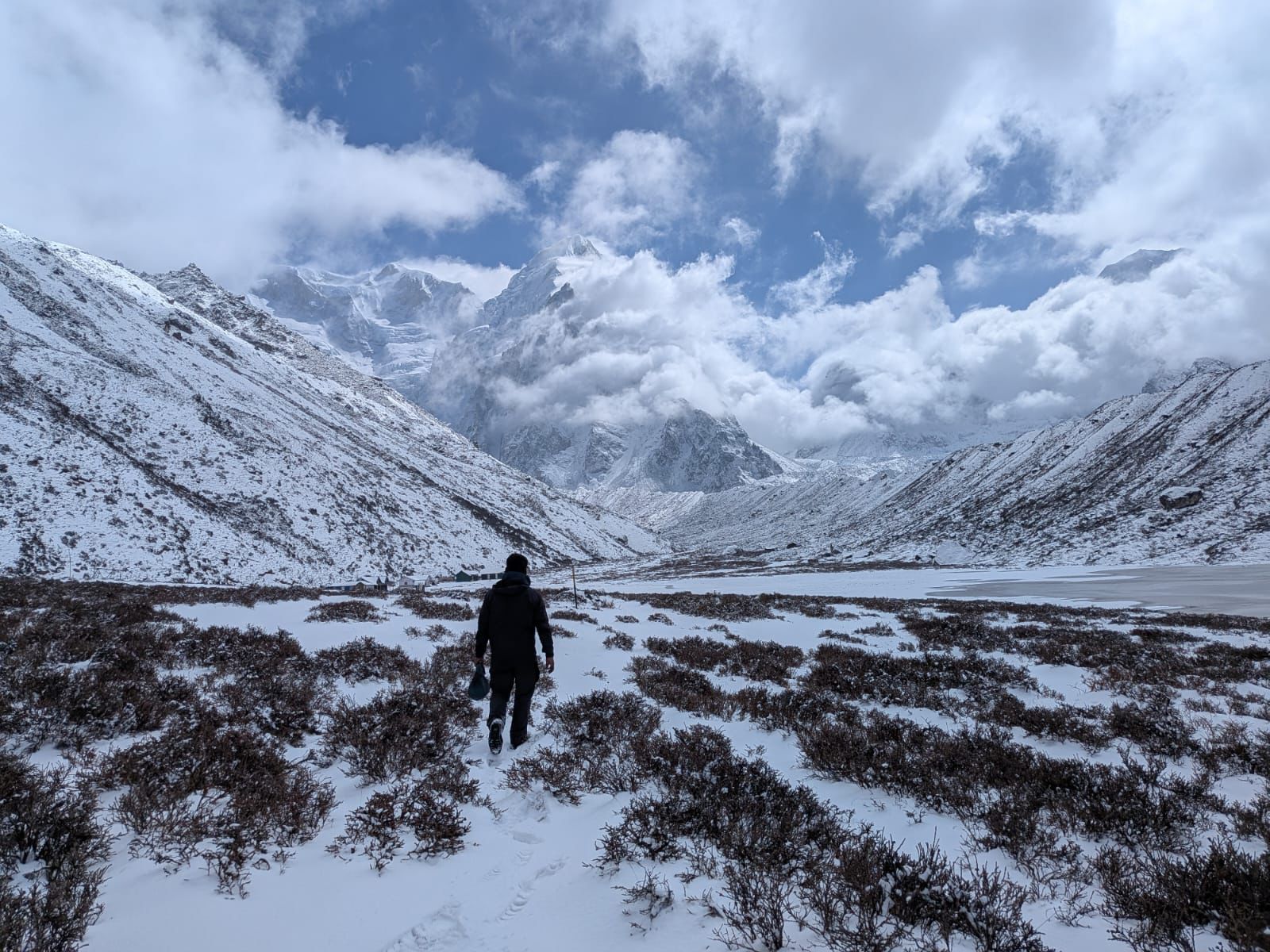
Base camp
4,130 m
Sele La Camp is a remote high-altitude overnight stop above Ghunsa, serving as a staging point for the demanding pass crossing toward Tseram.
Read placePass
Sele La Pass is a remote 4,290m mountain crossing connecting the northern Ghunsa Valley with Tseram and the southern Kanchenjunga region.
Read place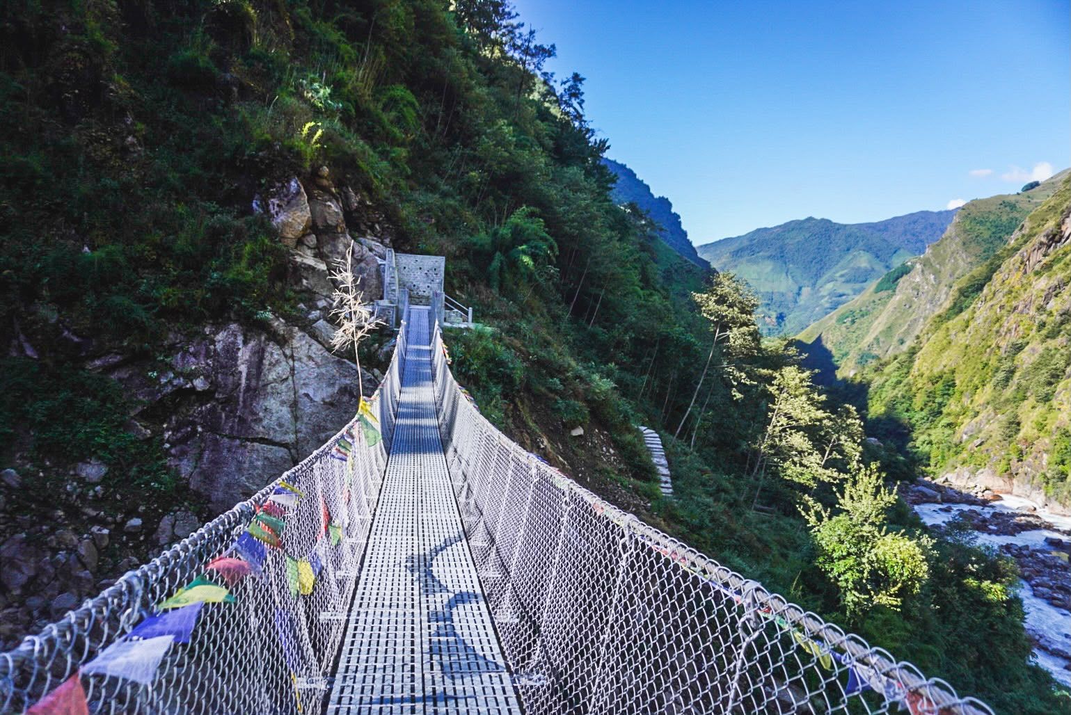
River
2,000 m
The Simbua Khola is the main river of the southern Kanchenjunga region, fed by the Yalung Glacier and flowing south-west to join the Tamor. The trail to Kanchenjunga South Base Camp follows it through dense forest past Tortong and Tseram.
Read place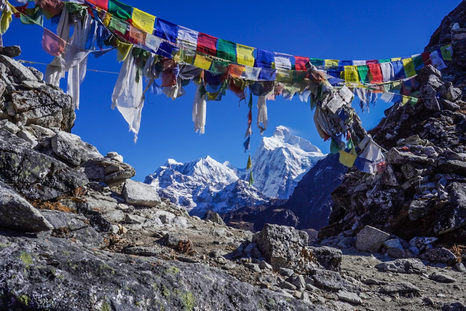
Pass
Sinion La is one of the high crossings between Ghunsa and Tseram on the Kanchenjunga Circuit, crossed on the same long day as Sele La and Mirgin La.
Read place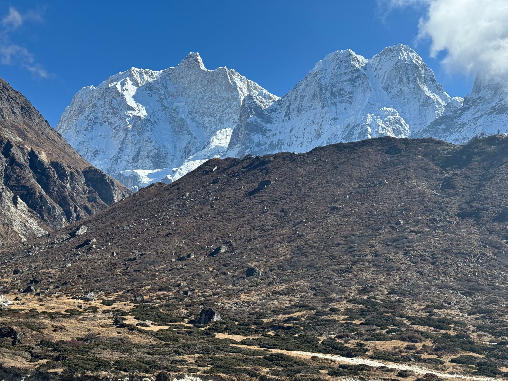
Airstrip / airport
सुकेटार विमानस्थल
2,420 m
Suketar Airport is the small airstrip serving Taplejung, the gateway to the Kanchenjunga region. Flights from Biratnagar or Bhadrapur are irregular, so most trekkers now drive in. Pathibhara Temple is a day’s climb away.
Read place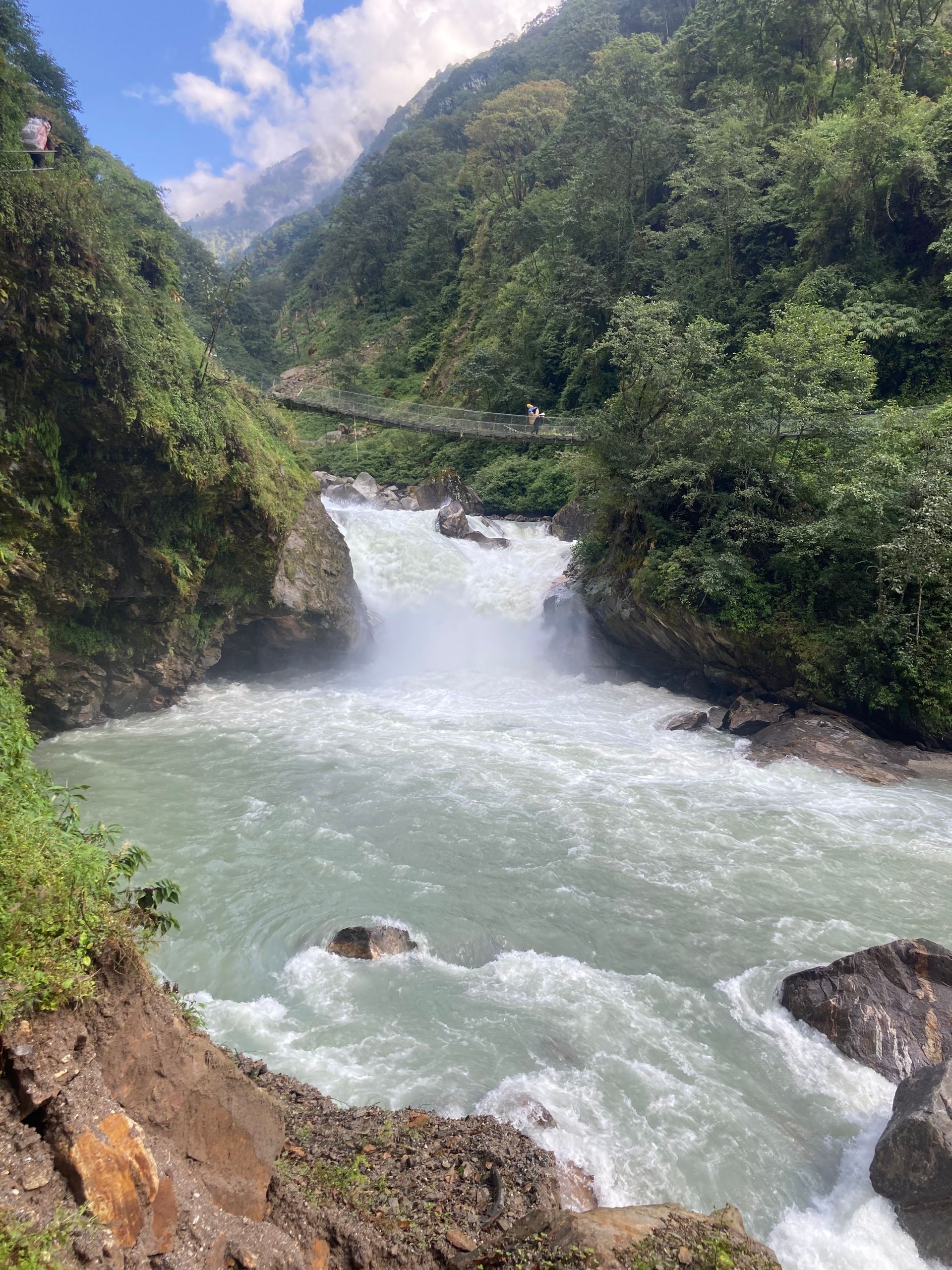
River
300 m
The Tamor River rises from the glaciers of the Kanchenjunga massif and flows south through Taplejung to join the Arun and Sun Koshi at Tribeni, forming the Sapta Koshi. It is the main river of eastern Nepal’s mountains.
Read place
