

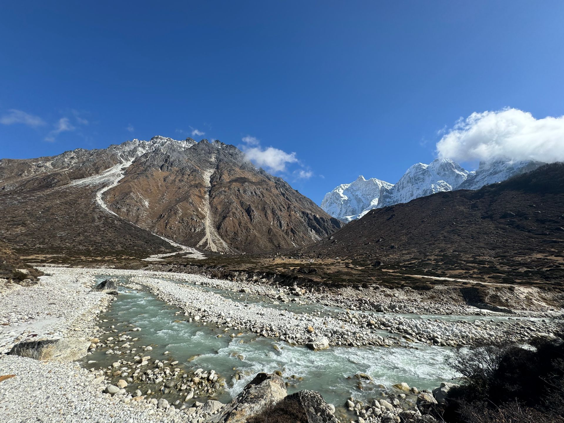
River
Chhiring Khola
Chhiring Khola is a mountain stream in the Kanchenjunga region of Taplejung district, part of the Tamor river system.
Read placeThe region
River
Chhiring Khola is a mountain stream in the Kanchenjunga region of Taplejung district, part of the Tamor river system.
Read place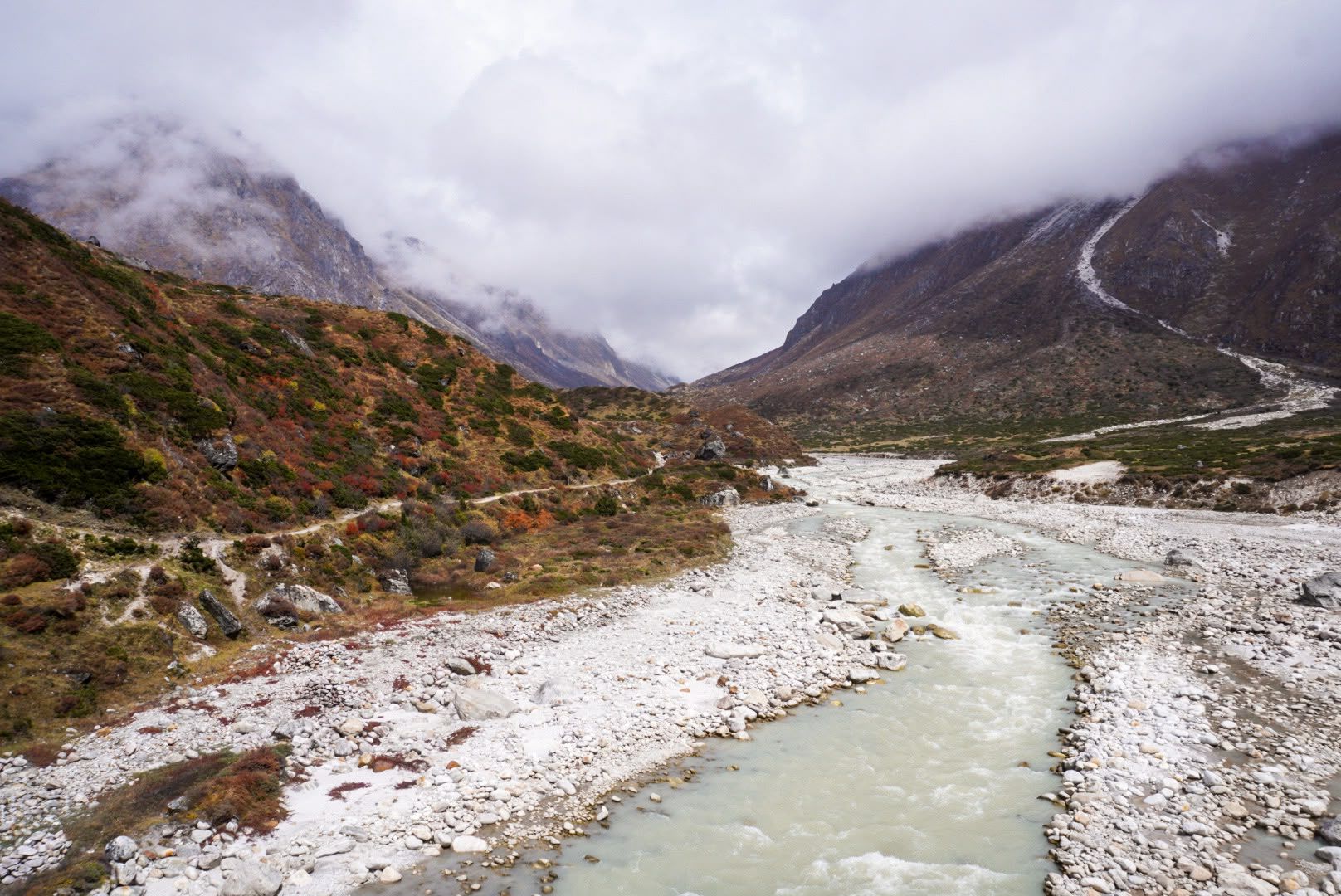
River
1,600 m
The Ghunsa River flows from the glaciers on the north side of Kanchenjunga past Lhonak, Kambachen and Ghunsa, joining the Tamor below Gyabla. Its water is milky with glacial silt.
Read place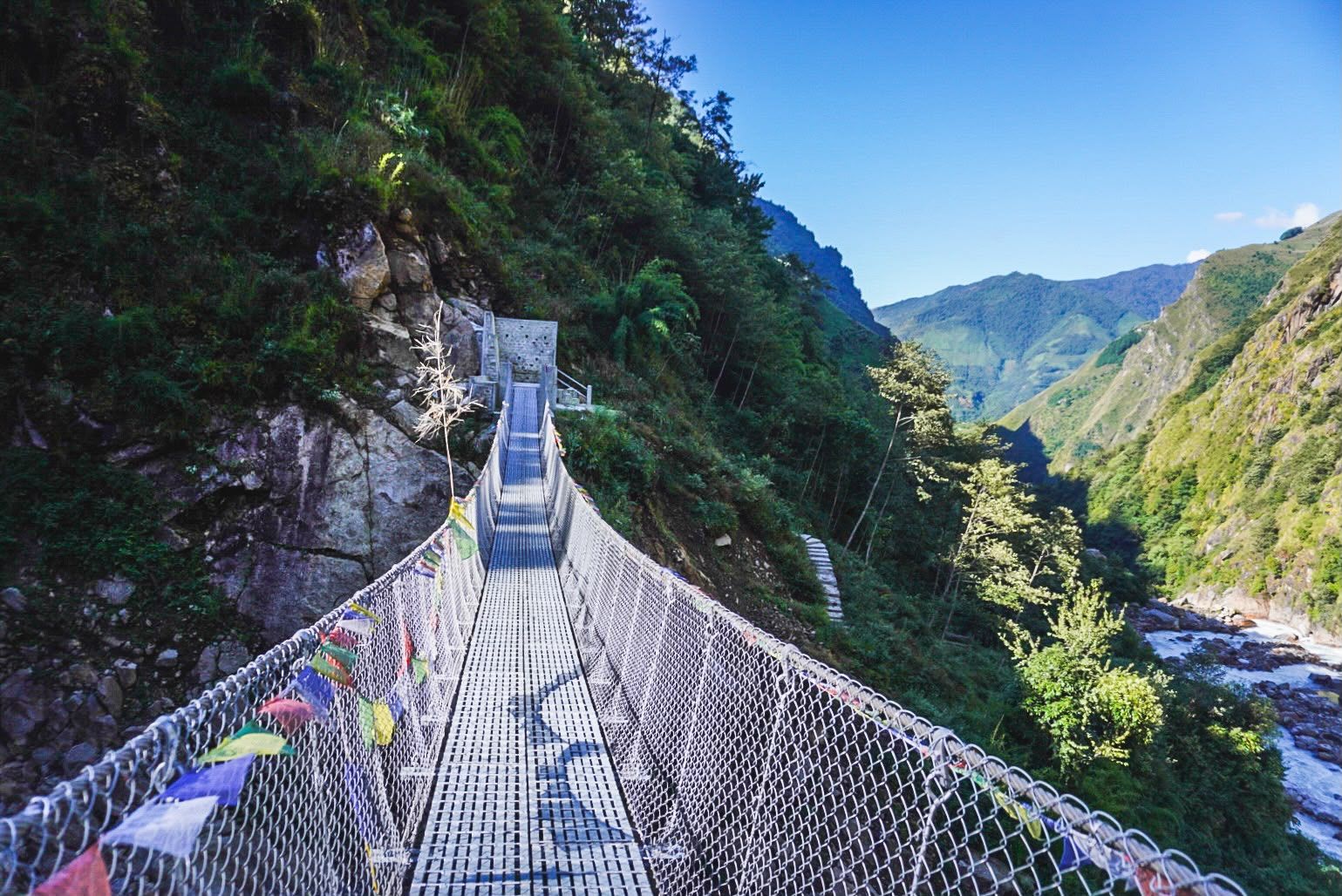
River
2,000 m
The Simbua Khola is the main river of the southern Kanchenjunga region, fed by the Yalung Glacier and flowing south-west to join the Tamor. The trail to Kanchenjunga South Base Camp follows it through dense forest past Tortong and Tseram.
Read place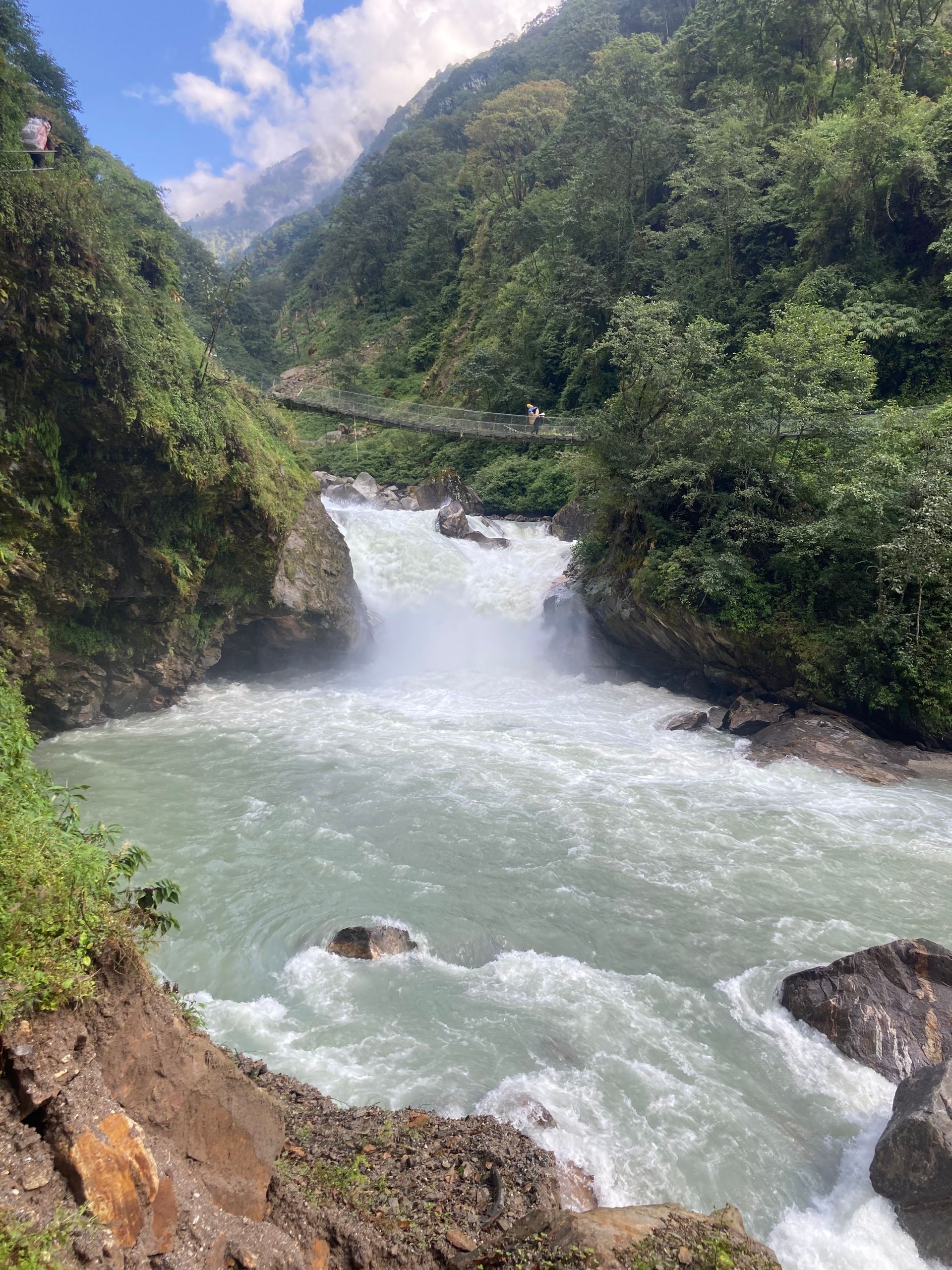
River
300 m
The Tamor River rises from the glaciers of the Kanchenjunga massif and flows south through Taplejung to join the Arun and Sun Koshi at Tribeni, forming the Sapta Koshi. It is the main river of eastern Nepal’s mountains.
Read place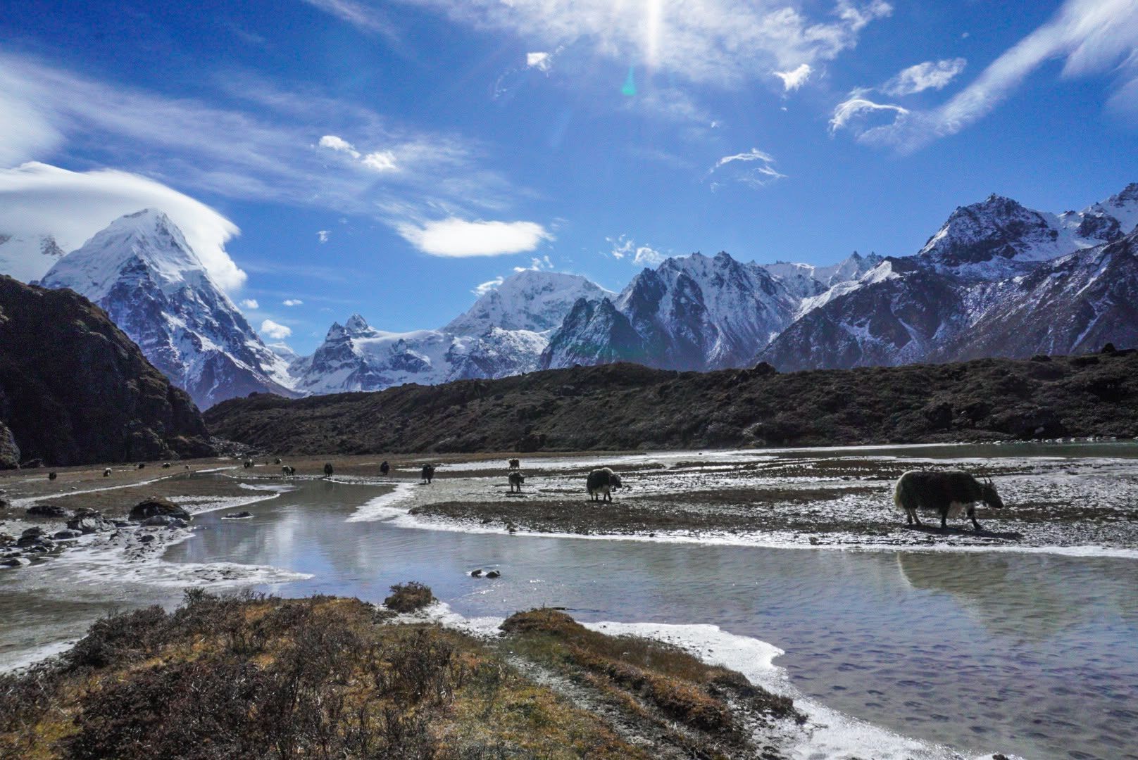
River
3,500 m
The Yalung River drains the Yalung Glacier below the south face of Kanchenjunga, flowing down the Yalung valley into the Simbua Khola.
Read place