Village
Kambachen, Kanchenjunga
Khambachen
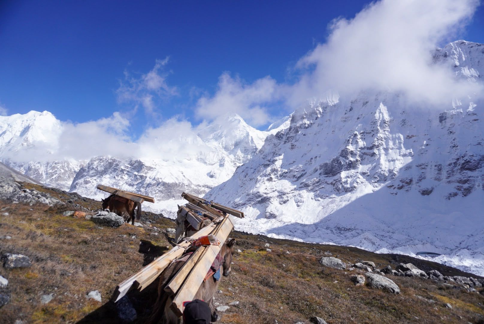
Kambachen at 4,145 m is a remote high-altitude settlement on the Kanchenjunga North Base Camp route, surrounded by dramatic alpine landscapes and views toward Jannu.
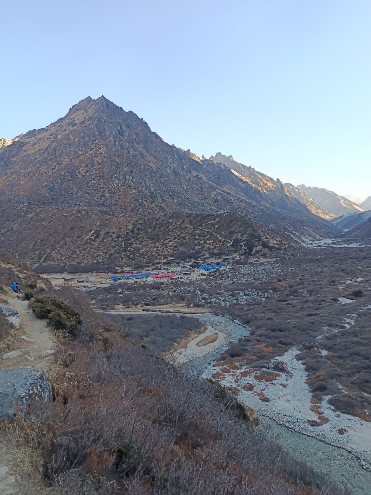
- Elevation: 4,050 m / 13,287 ft
- Location: Kanchenjunga Conservation Area, Taplejung, Nepal
- Route: Ghunsa → Kambachen → Lhonak
- Trek from Ghunsa: Approximately 5–6 hours
Kambachen, Kanchenjunga – A Complete Guide to the Remote Himalayan Settlement
Kambachen (also spelled Khambachen) is a remote high-altitude settlement in the northern Kanchenjunga region of Taplejung, eastern Nepal. Situated at approximately 4,145 metres above sea level, it lies along the trail connecting Ghunsa with Lhonak and Kanchenjunga North Base Camp (Pangpema). Surrounded by rugged Himalayan mountains, open alpine landscapes and glacial valleys, Kambachen is one of the most memorable overnight stops on the Kanchenjunga North Base Camp Trek.
For trekkers approaching from Ghunsa, Kambachen marks a significant transition into the high-altitude Himalayan environment. The forests gradually disappear, the valley opens into rocky mountain terrain, and the impressive northwestern face of Jannu (Kumbhakarna, 7,710 m) becomes a dominant feature of the surrounding landscape.
Although small and remote, Kambachen plays an important role in the Kanchenjunga trekking route. It provides a place to rest before continuing towards Lhonak and Pangpema, where trekkers encounter increasingly rugged terrain and some of the most spectacular mountain scenery in the eastern Himalayas.
Where Is Kambachen?
Kambachen is located in the northern part of Taplejung District, within the Kanchenjunga Conservation Area of eastern Nepal. It lies in the upper Ghunsa Valley, north of Ghunsa village and south of Lhonak, along the approach to the northern base camp of Mount Kanchenjunga.
The settlement is surrounded by high mountain slopes, rocky ridges, alpine pastures and glacial landscapes. Its geographical position makes it an important stopping point for trekkers exploring the northern side of the Kanchenjunga massif.
Unlike larger Himalayan villages such as Ghunsa, Kambachen is a small and relatively seasonal settlement. Its simple stone buildings and mountain lodges serve local pastoral activities and the limited number of trekkers travelling through this remote region.
Kambachen is also an excellent location from which to appreciate the dramatic mountain environment surrounding Jannu and the upper Kanchenjunga Valley.
Location: Kanchenjunga Conservation Area, Taplejung, Nepal
Approximate elevation: 4,145 metres
Trekking route: Ghunsa – Kambachen – Lhonak
Nearest major settlement: Ghunsa
Major nearby mountain: Jannu (Kumbhakarna, 7,710 m)
The Ghunsa to Kambachen Trek
The trek from Ghunsa to Kambachen is one of the most scenic and geographically interesting sections of the northern Kanchenjunga route.
The journey covers approximately 10–11 kilometres and generally takes five to six hours, depending on walking pace, weather and trail conditions. It involves a considerable elevation gain, so trekkers should walk steadily and follow their guide's instructions.
Leaving Ghunsa, the trail follows the upper Ghunsa Khola valley, gradually gaining elevation through increasingly open mountain terrain. The lower forested landscape becomes thinner as the route progresses towards the alpine zone.
Along the way, trekkers encounter rivers, rocky paths, open grazing areas and sections of exposed mountain trail. One of the more challenging sections is a landslide-prone slope, where the path can be loose and unstable. This section requires particular attention, especially after rainfall or during changing weather conditions.
After crossing the exposed terrain, the trail continues towards Kambachen. As the valley opens, the surrounding mountain scenery becomes increasingly impressive, with Jannu rising dramatically above the landscape.
Arriving in Kambachen offers a welcome opportunity to rest, enjoy the mountain surroundings and prepare for the next stage towards Lhonak.
Trekking information:
- Starting point: Ghunsa
- Destination: Kambachen
- Approximate distance: 10–11 km
- Walking duration: 5–6 hours
- Starting elevation: Approximately 3,415 m
- Destination elevation: Approximately 4,145 m
- Difficulty: Challenging due to elevation gain and exposed trail sections
Jannu (Kumbhakarna) – The Mountain That Dominates Kambachen
One of the most remarkable features of Kambachen is its proximity to Jannu, also known as Kumbhakarna.
Standing at approximately 7,710 metres, Jannu is among the most distinctive and visually impressive mountains in the Kanchenjunga region. Its dramatic rock faces, steep ridges and extensive snow-covered slopes create a striking Himalayan landscape.
From the Kambachen area, the mountain rises prominently above the surrounding valley. Its impressive northwestern face is particularly memorable, giving trekkers a close appreciation of the scale and rugged character of this Himalayan peak.
Jannu is not simply another mountain visible along the trekking route. Its distinctive shape and imposing presence make it one of the major visual highlights of the Kanchenjunga North Base Camp journey.
The mountain also has an important place in Himalayan mountaineering history, having been climbed through technically demanding routes. Its steep terrain and complex mountain structure make it a respected challenge among experienced mountaineers.
For trekkers, Kambachen provides an exceptional opportunity to appreciate Jannu without undertaking a technical climbing expedition.
Kambachen Village and Local Mountain Life
Kambachen is a small high-altitude settlement where life is closely connected to the surrounding mountain environment.
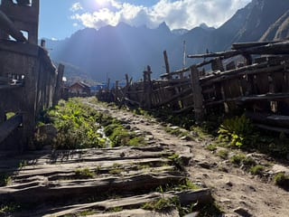
The settlement consists of simple mountain buildings, traditional stone structures and basic accommodation used by trekkers and people working in the upper valley. Compared with larger settlements in the lower Kanchenjunga region, facilities are limited and daily life is shaped by the remote location and harsh Himalayan climate.
The surrounding landscape has traditionally supported seasonal grazing activities. During suitable seasons, livestock can be taken to higher pastures, while the warmer months also provide the main period for trekking and tourism activities.
Kambachen is part of a wider cultural landscape influenced by the Tibetan Buddhist traditions found in the upper Kanchenjunga region. These traditions are reflected in the villages, religious features and everyday mountain life of the surrounding communities.
Visiting Kambachen offers more than mountain scenery. It gives trekkers an opportunity to experience the quieter and more remote side of Himalayan life, away from the larger settlements and busy trekking destinations of Nepal.
Accommodation and Facilities in Kambachen
Accommodation in Kambachen is basic and designed primarily for trekkers travelling towards Lhonak and Kanchenjunga North Base Camp.
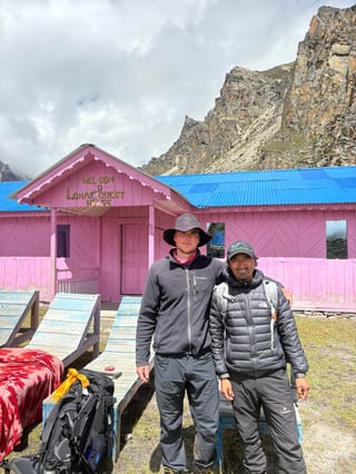
Local teahouses and mountain lodges provide simple overnight accommodation. Rooms are generally basic, and facilities are more limited than those available in Ghunsa.
Trekkers should not expect the comfort or services of hotels in larger Himalayan destinations. Availability of electricity, charging, hot showers, internet and other facilities can vary according to the lodge, season and weather conditions.
Meals are generally prepared at local lodges, with simple food suitable for trekking. Common trekking meals in the region include dal bhat, noodles, rice, potatoes, soups, eggs and other basic dishes, depending on availability.
Because Kambachen is remote, it is sensible to carry personal essentials, appropriate warm clothing and any necessary medication.
What to expect in Kambachen:
- Basic teahouse or mountain lodge accommodation.
- Simple meals prepared at local lodges.
- Limited facilities compared with Ghunsa.
- Cold nights and changing mountain weather.
- Limited access to supplies and services.
- A quiet and remote high-altitude environment.
Trekkers should always confirm accommodation arrangements with their trekking agency before departure, particularly during the busy trekking season.
Acclimatization in Kambachen
Acclimatization is an important consideration when trekking to Kambachen because the settlement lies above 4,000 metres.
As trekkers gain elevation, the available oxygen in each breath decreases. The body needs time to adjust to the changing conditions, and ascending too quickly can increase the risk of acute mountain sickness (AMS).
Many Kanchenjunga trekking itineraries include an additional acclimatization night in Kambachen before proceeding towards Lhonak. Whether this is necessary depends on the overall itinerary, previous acclimatization, individual health and the group's condition.
An acclimatization day does not necessarily mean remaining inside the lodge throughout the day. A short, gradual walk to a suitable higher point, followed by a return to sleep at the same altitude, may be included when conditions allow.
Trekkers should communicate any symptoms such as headaches, nausea, dizziness, unusual tiredness or loss of appetite to their guide immediately.
If symptoms worsen or serious altitude-related illness is suspected, further ascent should stop and appropriate medical assessment and descent may be necessary.
Proper acclimatization, a gradual ascent and following professional guide advice are essential for a safer Kanchenjunga trekking experience.
Kambachen to Lhonak – Continuing Towards Kanchenjunga North Base Camp
From Kambachen, the trekking route continues north towards Lhonak, taking trekkers deeper into the remote alpine environment of the Kanchenjunga region.
The journey generally covers approximately 10–11 kilometres and takes around five to six hours, depending on trail conditions, weather and walking pace.
After leaving Kambachen, the landscape becomes increasingly barren. Vegetation becomes sparse, and the trail passes through open rocky terrain, glacial deposits and sections of moraine.
The route follows the upper valley towards Ramtang before continuing in the direction of Lhonak. Trekkers experience a noticeable change in the mountain environment as they approach the extensive glacial landscape associated with the Kanchenjunga Glacier.
The surrounding mountains become more prominent, while the exposed terrain and increasing altitude make the walking more demanding.
Lhonak, at approximately 4,790 metres, is the next major overnight stop and the usual starting point for the excursion to Kanchenjunga North Base Camp at Pangpema.
Route information:
- Starting point: Kambachen
- Destination: Lhonak
- Approximate distance: 10–11 km
- Walking duration: 5–6 hours
- Starting elevation: Approximately 4,145 m
- Destination elevation: Approximately 4,790 m
- Terrain: Rocky paths, glacial moraine and exposed alpine landscape
Wildlife and Natural Environment Around Kambachen
Kambachen lies within the Kanchenjunga Conservation Area, one of Nepal's important protected mountain landscapes.
The conservation area covers a remarkable range of ecosystems, from subtropical forests at lower elevations to alpine meadows, glaciers and permanently snow-covered mountain environments.
As the trekking route climbs towards Kambachen, the vegetation changes considerably. Dense forests give way to smaller alpine plants, grasses, shrubs and increasingly barren rocky landscapes.
The wider Kanchenjunga region is home to several important Himalayan wildlife species, including snow leopards, Himalayan black bears, musk deer, red pandas and blue sheep. However, wildlife sightings are never guaranteed, and many animals remain difficult to observe because of their elusive behaviour and remote habitats.
Birdlife is also part of the region's biodiversity, with species adapted to the different elevations and mountain ecosystems.
The conservation area is particularly important for protecting the natural environment and biodiversity of eastern Nepal.
Trekkers should respect local conservation practices, avoid disturbing wildlife, carry out their rubbish and help preserve the fragile alpine environment.
Best Time to Visit Kambachen
The most suitable seasons for trekking to Kambachen are generally spring and autumn.
Spring (March to May)
Spring brings gradually warming temperatures and improving trekking conditions. Lower sections of the Kanchenjunga route become greener, while the higher mountain landscape remains snowy in many places.
This season is particularly attractive for trekkers interested in changing mountain scenery and clearer weather during suitable periods.
Autumn (September to November)
Autumn is one of the most popular seasons for trekking in the Kanchenjunga region. Following the monsoon, the weather often becomes more stable, and mountain visibility can be excellent.
October and November are particularly popular months for the Kanchenjunga North Base Camp Trek.
Winter (December to February)
Winter brings very cold temperatures, snowfall and potentially difficult trail conditions at higher elevations. Access to Kambachen and the upper valley can become challenging depending on snow and weather.
Monsoon (June to August)
The monsoon brings heavy rainfall to lower sections of the Kanchenjunga region. Trails can become muddy, slippery and affected by landslides, while clouds may limit mountain views.
Although conditions vary from year to year, spring and autumn are generally the preferred seasons for visiting Kambachen.
Photography and Mountain Views in Kambachen
Kambachen is one of the most rewarding locations for photography along the Kanchenjunga North Base Camp route.
The combination of traditional mountain buildings, wide alpine valleys, rocky landscapes and dramatic Himalayan peaks provides many opportunities for landscape photography.
Jannu is one of the most striking subjects in the area, particularly when its steep mountain faces are illuminated by morning or afternoon sunlight.
The changing light, moving clouds and mountain shadows can create very different photographic conditions throughout the day.
Trekkers can also photograph the surrounding alpine landscape, local settlements, grazing areas and the rugged trail leading towards Lhonak.
For photographers, it is worth allowing extra time to enjoy the scenery rather than treating Kambachen only as an overnight stop.
Photography highlights include:
- The impressive mountain profile of Jannu (Kumbhakarna).
- Traditional stone buildings and mountain lodges.
- The open upper Ghunsa Valley.
- Alpine landscapes and rocky mountain slopes.
- The trekking trail towards Lhonak.
- Sunrise and sunset mountain scenery, when weather permits.
Kambachen on the Kanchenjunga Base Camp Trek
Kambachen is an important overnight destination on the northern section of the Kanchenjunga Base Camp Trek.
It forms part of the classic route from Ghunsa towards Lhonak and Pangpema, allowing trekkers to explore the northern side of the Kanchenjunga massif.
On the Kanchenjunga North Base Camp itinerary, the usual route follows:
Ghunsa → Kambachen → Lhonak → Pangpema
Nearby Kambachen
Trekkers undertaking the full Kanchenjunga Circuit Trek also travel through Kambachen before connecting the northern route with the Sele La passes and the southern side of the mountain region.
Because of its location and elevation, Kambachen is an important part of itinerary planning. The number of nights spent here should be determined according to the overall ascent profile and acclimatization requirements.
Kanchenjunga Guides operates guided trekking journeys through this region, with experienced local trekking teams familiar with the terrain, accommodation and changing mountain conditions.
Frequently asked questions About Kambachen
Where is Kambachen located?
Kambachen is a remote high-altitude settlement in the Kanchenjunga Conservation Area of Taplejung District, eastern Nepal. It lies between Ghunsa and Lhonak on the northern Kanchenjunga trekking route.
What is the altitude of Kambachen?
Kambachen is commonly listed at approximately 4,050–4,145 metres above sea level. The exact figure depends on the mapped location within the settlement. For trekking itinerary purposes, Kanchenjunga Guides currently uses approximately 4,145 metres.
How far is Kambachen from Ghunsa?
The trekking distance from Ghunsa to Kambachen is approximately 10–11 kilometres. The journey usually takes five to six hours, depending on walking pace and trail conditions.
How difficult is the trek from Ghunsa to Kambachen?
The trek is challenging mainly because of the significant elevation gain and a landslide-prone trail section. Trekkers should walk steadily, follow their guide and allow enough time for the journey.
Is there accommodation in Kambachen?
Yes. Basic teahouses and mountain lodges provide accommodation for trekkers. Facilities are limited compared with Ghunsa, so travellers should be prepared for simple rooms and basic services.
Can you see Mount Jannu from Kambachen?
Yes. Jannu, also known as Kumbhakarna, is one of the most prominent mountains around Kambachen. Its dramatic mountain face is a major highlight of the northern Kanchenjunga trekking route.
How far is Kambachen from Lhonak?
The trekking distance from Kambachen to Lhonak is approximately 10–11 kilometres. The journey generally takes five to six hours through rocky alpine terrain and glacial landscapes.
Is Kambachen a good place for acclimatization?
Kambachen can be an important acclimatization stop because it is located above 4,000 metres. Many itineraries include an additional night here before proceeding to Lhonak. The appropriate schedule depends on the overall ascent profile and individual condition.
What comes after Kambachen on the Kanchenjunga Trek?
Lhonak is the next major overnight destination after Kambachen. From Lhonak, trekkers make an excursion to Pangpema, the Kanchenjunga North Base Camp.
Can beginners trek to Kambachen?
Beginners with good physical fitness and appropriate preparation can undertake the trek with a qualified local trekking team. However, the high altitude, remote location and demanding trail conditions make proper acclimatization and preparation essential.
Is Kambachen part of the Kanchenjunga Circuit Trek?
Yes. Kambachen is an important stop on the northern section of the Kanchenjunga Circuit Trek, which connects the northern and southern base camp routes through the Sele La region.
What should I bring when trekking to Kambachen?
Trekkers should carry warm layered clothing, a suitable sleeping bag, waterproof outerwear, trekking boots, personal medication, sun protection, water bottles and essential personal supplies. Weather conditions can change quickly at high altitude.
Explore Kambachen with Kanchenjunga Guides
Kambachen is one of the most memorable destinations on the Kanchenjunga trekking route, offering an extraordinary combination of remote mountain life, dramatic Himalayan scenery and access to the northern base camp of the world's third-highest mountain.
From the forested trails above Ghunsa to the spectacular views of Jannu and the rugged glacial landscape towards Lhonak, every stage of the journey offers a different experience of the Kanchenjunga region.
At Kanchenjunga Guides, our local trekking team regularly travels through this region and understands the practical challenges of trekking in its remote high-altitude environment.
Whether you are planning the Kanchenjunga North Base Camp Trek or the complete Kanchenjunga Circuit Trek, we can arrange experienced local guides, porters, permits, accommodation and the necessary trekking logistics.
Explore our Kanchenjunga trekking itineraries and discover the remote Himalayan landscapes of eastern Nepal with a local team.
Plan your Kanchenjunga Trek with Kanchenjunga Guides.
Click This Link to directly contact us on whatsapp: 9779841619019
Or Submit This form we will contact you in few minutes
Where is Kambachen, Kanchenjunga ?
The exact point on the Kanchenjunga trail, with nearby places for context.
On this map
Nearby places
Checkpoint
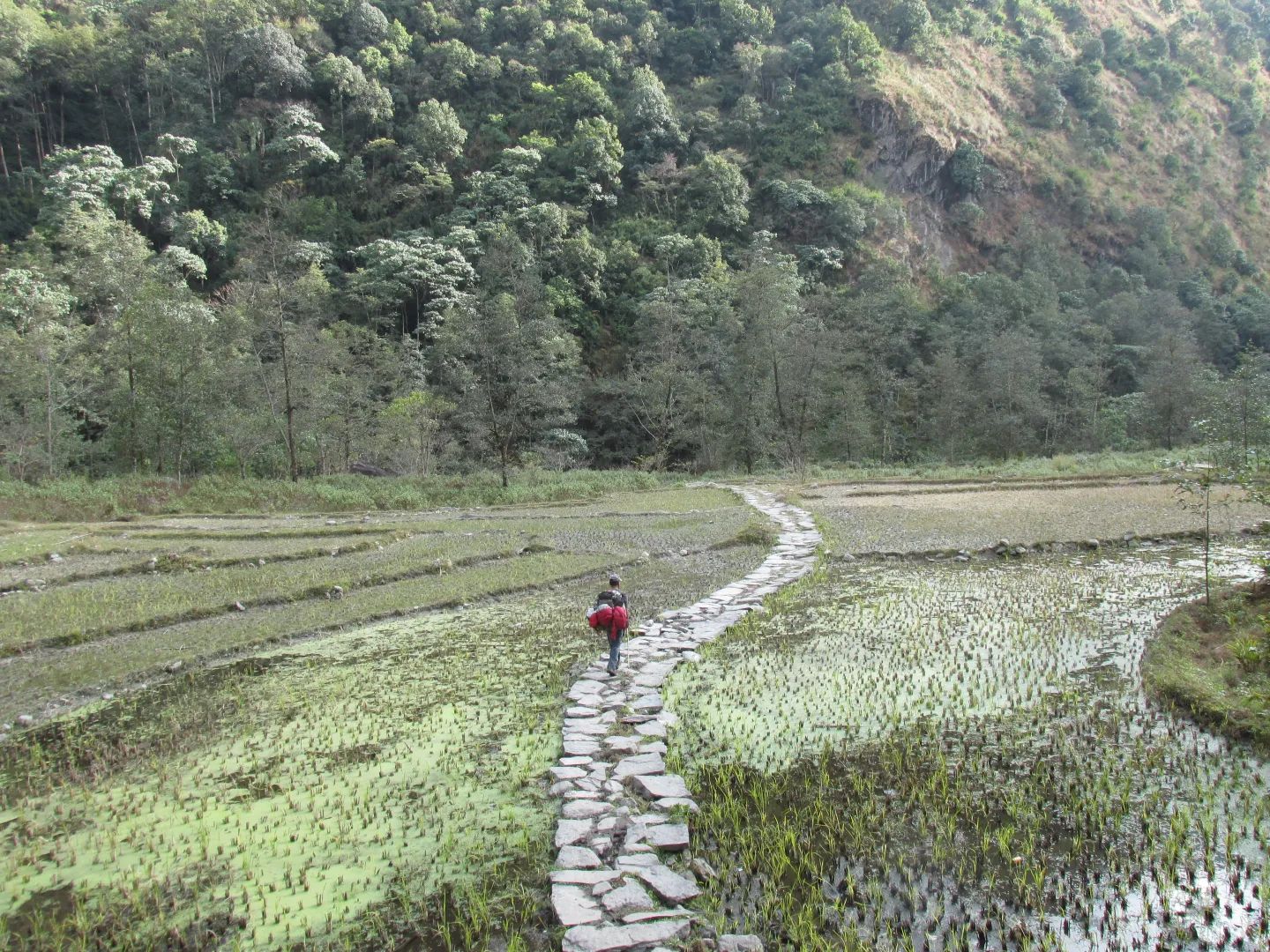
Yamphudin – Gateway to Southern Kanchenjunga
Yamphudin
2,080 m
Yamphudin, at around 2,080 m, is a remote mountain village in Taplejung and an important stop on the southern Kanchenjunga trekking route. Surrounded by forests, farmland and mountain valleys, it offers trekkers a glimpse of the region’s diverse culture and traditional Himalayan lifestyle.
Read place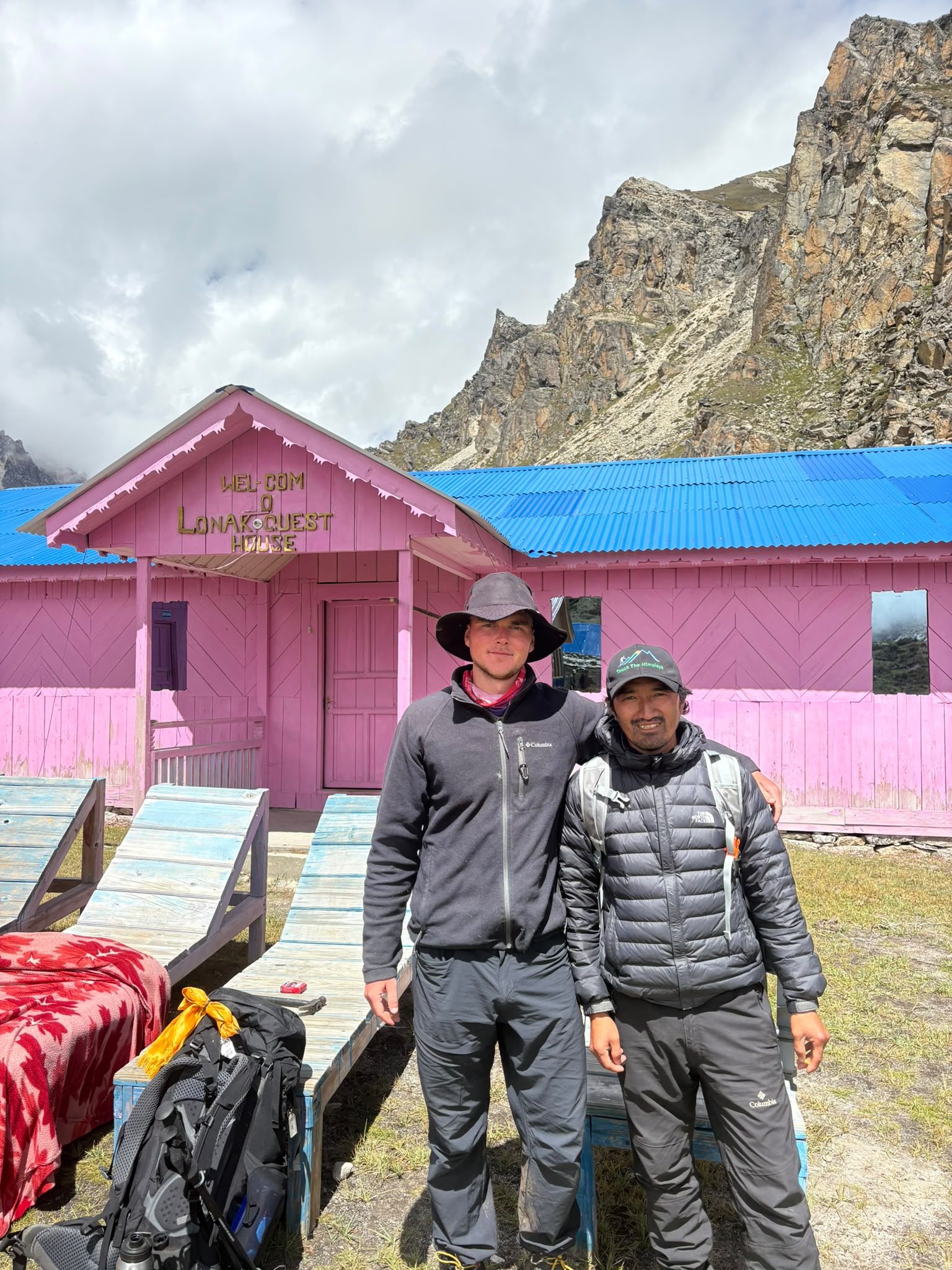
Village
Lhonak - Last Settlement Beneath Kanchenjunga
Lhonak – Last Settlement Beneath Kanchenjunga
4,780 m
Lhonak is more than a stop on the Kanchenjunga trek—it is the final high-altitude staging point before Pangpema, the North Base Camp. At around 4,780–4,790 m, trekkers are already in a demanding glacial environment, with very limited facilities and exposed terrain.
Read place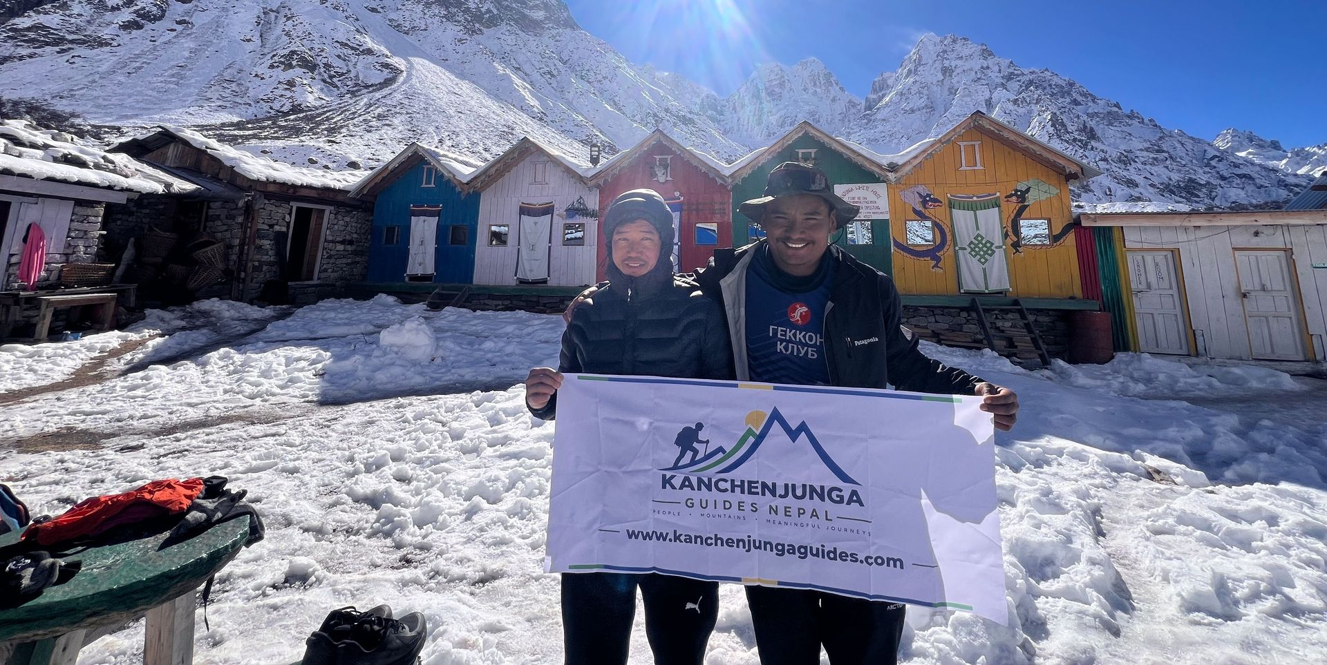
Village
Pangpema - Kanchenjunga North Base Camp
5,140 m
Pangpema, at around 5,140 m, is the northern base camp area of Mount Kanchenjunga. Reached from Lhonak through rugged glacial terrain, it offers spectacular views of Kanchenjunga’s northern face, glaciers and surrounding Himalayan peaks. Proper acclimatization is essential at this altitude.
Read place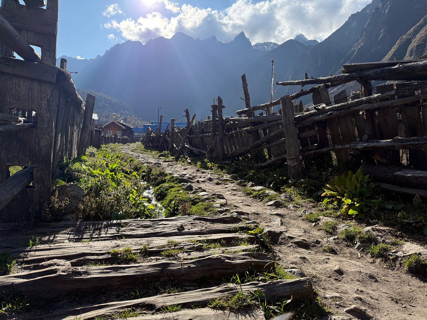
Checkpoint
Ghunsa Village – Heart of the Kanchenjunga Trek
Ghunsa
3,400 m
Ghunsa is a traditional Himalayan village at approximately 3,400 metres on the Kanchenjunga trekking route in eastern Nepal. Discover its mountain scenery, local culture, trekking trails, accommodation, and role as an important acclimatisation stop.
Read place